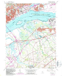
1967 Map of Bridgeport
USGS Topo · Published 1987About this map
Chester and Paulsboro flank the heavy industrial corridor of the Delaware River in this survey updated through the mid-1980s. The map illustrates a complex landscape of petrochemical infrastructure, shipping channels, and residential growth, punctuated by significant institutional landmarks like Pennsylvania Mil College and numerous parochial institutions including St Michaels Sch and St Anthonys Sch. The transition from the urban density of Eddystone and Ridley Park to the marshy lowlands is captured in the protected acreage of the Tinicum National Environmental Center and the expanse of Cedar Swamp. South of the river, the landscape shifts toward rural New Jersey, where smaller settlements like Repaupo and Wolfert are interspersed with remnants of an older hydraulic economy seen at Hendrickson Millpond and Warrington Millpond. The map also documents the arrival of major transportation arteries, including Interstate 95 and the New Jersey Turnpike, which cut through long-established townships like Greenwich and Logan.
Find a feature on this map
94 named features on this map. Tap any name to fly to it.
Don’t see what you’re looking for? This feature index may not catch every label — zoom into the map to look around manually.
Map Details
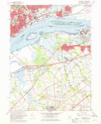
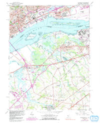
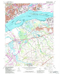
Editions of this 1967 Bridgeport Map
4 editions found
Other maps of this area

1890 · Salem
USGS Topo · 1:62,500

1890 · Glassboro
USGS Topo · 1:62,500

1891 · Philadelphia
USGS Topo · 1:62,500

1894 · Chester
USGS Topo · 1:62,500

1894 · Philadelphia
USGS Topo · 1:62,500

1896 · Philadelphia
USGS Topo · 1:62,500

1896 · Chester
USGS Topo · 1:62,500

1898 · Salem
USGS Topo · 1:62,500

1898 · Glassboro
USGS Topo · 1:62,500

1898 · Chester
USGS Topo · 1:62,500