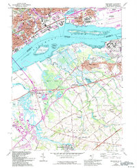
1967 Map of Bridgeport
USGS Topo · Published 1994About this map
Industrial developments and established riverfront communities line the banks of the Delaware River in this detailed survey of the Pennsylvania and New Jersey border. On the Pennsylvania side, the city of Chester serves as a dense urban hub, showing institutions like St James High Sch and the Chester Rural Cem, while the worker-oriented neighborhood of Westinghouse Village sits near the river's edge. Cross-river industry is prominent at the Filtration Plant and various shore-side facilities.
Find a feature on this map
105 named features on this map. Tap any name to fly to it.
Don’t see what you’re looking for? This feature index may not catch every label — zoom into the map to look around manually.
Map Details
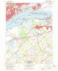
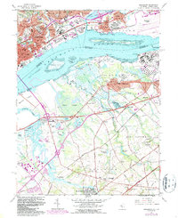
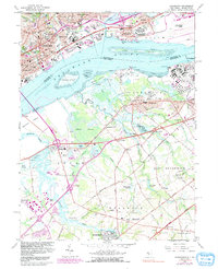
Editions of this 1967 Bridgeport Map
4 editions found
Other maps of this area

1890 · Salem
USGS Topo · 1:62,500

1890 · Glassboro
USGS Topo · 1:62,500

1891 · Philadelphia
USGS Topo · 1:62,500

1894 · Chester
USGS Topo · 1:62,500

1894 · Philadelphia
USGS Topo · 1:62,500

1896 · Philadelphia
USGS Topo · 1:62,500

1896 · Chester
USGS Topo · 1:62,500

1898 · Salem
USGS Topo · 1:62,500

1898 · Glassboro
USGS Topo · 1:62,500

1898 · Chester
USGS Topo · 1:62,500