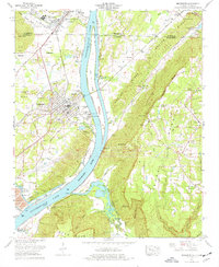
1974 Map of Bridgeport
USGS Topo · Published 1977About this map
Guntersville Lake and the Tennessee River dominate the geography of this mid-1970s survey, where industrial infrastructure meets the steep rises of Sand Mountain. On the western shore, the town of Bridgeport serves as a critical junction for the Louisville and Nashville railroad and the Lee Highway. Large-scale energy production is anchored by the Widows Creek Steam Plant to the southwest, while just across the state line in Tennessee, Richard City marks the northern extent of the river valley's development.
Find a feature on this map
59 named features on this map. Tap any name to fly to it.
Don’t see what you’re looking for? This feature index may not catch every label — zoom into the map to look around manually.
Map Details
Editions of this 1974 Bridgeport Map
2 editions found
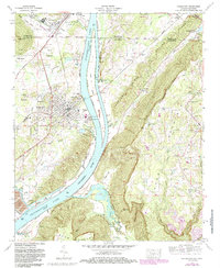
Other maps of this area

1886 · Stevenson
USGS Topo · 1:125,000

1892 · Stevenson
USGS Topo · 1:125,000

1895 · Stevenson
USGS Topo · 1:125,000

1895 · Sewanee
USGS Topo · 1:125,000

1936 · Trenton
USGS Topo · 1:24,000

1936 · Shellmound
USGS Topo · 1:24,000

1936 · Orme
USGS Topo · 1:24,000

1936 · Bridgeport
USGS Topo · 1:24,000

1936 · Flat Rock
USGS Topo · 1:24,000

1936 · Stevenson
USGS Topo · 1:24,000