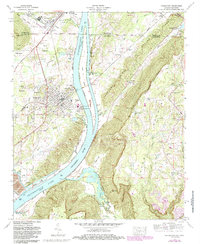
1974 Map of Bridgeport
USGS Topo · Published 1986About this map
The Tennessee River corridor serves as the primary artery for industry and transport in this borderland between Alabama and Tennessee. Industrial activity is concentrated at the Widows Creek Steam Plant and the nearby quarry near Richard City. The river’s impact on the landscape is visible through the expansive Guntersville Lake and Nickajack Lake, which frame the central ridge.
Find a feature on this map
56 named features on this map. Tap any name to fly to it.
Don’t see what you’re looking for? This feature index may not catch every label — zoom into the map to look around manually.
Map Details
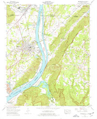
Editions of this 1974 Bridgeport Map
2 editions found
Other maps of this area

1886 · Stevenson
USGS Topo · 1:125,000

1892 · Stevenson
USGS Topo · 1:125,000

1895 · Stevenson
USGS Topo · 1:125,000

1895 · Sewanee
USGS Topo · 1:125,000

1936 · Trenton
USGS Topo · 1:24,000

1936 · Shellmound
USGS Topo · 1:24,000

1936 · Orme
USGS Topo · 1:24,000

1936 · Bridgeport
USGS Topo · 1:24,000

1936 · Flat Rock
USGS Topo · 1:24,000

1936 · Stevenson
USGS Topo · 1:24,000