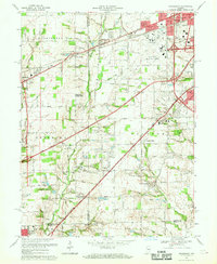
1966 Map of Bridgeport
USGS Topo · Published 1969About this map
The Weir Cook Municipal Airport dominates the northeastern landscape of this mid-century survey, surrounded by established communities like Mickleyville and Sterling Heights. This area west of Indianapolis is defined by the historic National Road and the Penn Central corridor, which link the growing suburbs to the heart of the city. To the south, the landscape shifts toward the winding West Fork White River, where rural life is still anchored by local landmarks such as West Newton and the Silon Cem.
Find a feature on this map
75 named features on this map. Tap any name to fly to it.
Don’t see what you’re looking for? This feature index may not catch every label — zoom into the map to look around manually.
Map Details
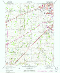
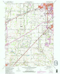
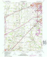
Editions of this 1966 Bridgeport Map
4 editions found
Other maps of this area

1948 · Maywood
USGS Topo · 1:24,000

1948 · Indianapolis West
USGS Topo · 1:24,000

1952 · Bargersville
USGS Topo · 1:24,000

1953 · Bridgeport
USGS Topo · 1:24,000

1953 · Brownsburg
USGS Topo · 1:24,000

1953 · Plainfield
USGS Topo · 1:24,000

1953 · Clermont
USGS Topo · 1:24,000

1953 · Indianapolis
USGS Topo · 1:250,000

1955 · Mooresville West
USGS Topo · 1:24,000

1955 · Mooresville East
USGS Topo · 1:24,000