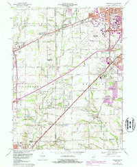
1966 Map of Bridgeport
USGS Topo · Published 1987About this map
The Indianapolis International Airport serves as a dominant anchor in this landscape, surrounded by suburban growth moving west into Hendricks County. This era is defined by the expansion of neighborhoods like Mickleyville and Sterling Heights, alongside the industrial development of the Conrail lines. Despite the suburbanization, the map preserves the older rural character of the area, visible in the cluster of institutions such as Decatur Central High Sch and School No 15. To the south, the terrain follows the winding course of the West Fork White River toward Mooresville, where family-named landmarks like Paddock Run and Quack Branch delineate the shifting edge between city and country. This survey records the exact moment when smaller crossroad settlements like Six Points and Camby began to merge into the expanding Indianapolis metropolitan footprint.
Find a feature on this map
65 named features on this map. Tap any name to fly to it.
Don’t see what you’re looking for? This feature index may not catch every label — zoom into the map to look around manually.
Map Details
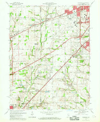
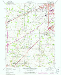
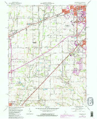
Editions of this 1966 Bridgeport Map
4 editions found
Other maps of this area

1948 · Maywood
USGS Topo · 1:24,000

1948 · Indianapolis West
USGS Topo · 1:24,000

1952 · Bargersville
USGS Topo · 1:24,000

1953 · Bridgeport
USGS Topo · 1:24,000

1953 · Brownsburg
USGS Topo · 1:24,000

1953 · Plainfield
USGS Topo · 1:24,000

1953 · Clermont
USGS Topo · 1:24,000

1953 · Indianapolis
USGS Topo · 1:250,000

1955 · Mooresville West
USGS Topo · 1:24,000

1955 · Mooresville East
USGS Topo · 1:24,000