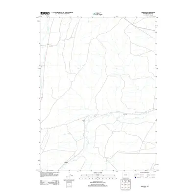
2012 Map of Bridger
USGS Topo · Published 2012About this map
Bridger sits at the southwestern edge of this landscape, where the local transportation network connects through the Wyoming basin. The terrain is defined by a series of drainage systems, most notably the meandering course of Muddy Cr and its tributaries like Spring Cr. These waterways are flanked by distinctive landforms including Sheep Draw and Lost Draw, which illustrate the erosional patterns of the high plains. Further north, Scullys Gap provides a natural passage through the elevated ridges, while Albert Cr flows along the western boundary. The map shows the quiet rural character of the area near Antelope, where Leroy Rd serves as a primary artery across the open country. This 2012 survey captures the spatial relationship between these small settlements and the vast drainage networks that have shaped the ranching and transit history of Uinta County.
Find a feature on this map
9 named features on this map. Tap any name to fly to it.
Don’t see what you’re looking for? This feature index may not catch every label — zoom into the map to look around manually.
Map Details
Editions of this 2012 Bridger Map
This is the sole edition of this map. No revisions or reprints were ever made.
Other maps of this area

1954 · Ogden
USGS Topo · 1:250,000

1958 · Ogden
USGS Topo · 1:250,000

1960 · Ogden
USGS Topo · 1:250,000

1962 · Cumberland Gap
USGS Topo · 1:24,000

1962 · Elkol SW
USGS Topo · 1:24,000

1964 · Fort Bridger
USGS Topo · 1:24,000

1964 · Carter
USGS Topo · 1:24,000

1965 · Bridger
USGS Topo · 1:24,000

1965 · Ragan
USGS Topo · 1:24,000

1965 · Leroy
USGS Topo · 1:24,000