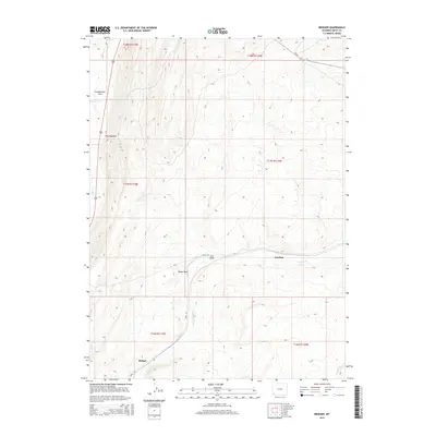
2015 Map of Bridger
USGS Topo · Published 2015About this map
The Hogsback dominates the central topography of this Uinta County landscape, a prominent ridgeline that separates the drainage systems of Albert Cr and Muddy Cr. In the southwest corner, the settlement of Bridger sits along Leroy Rd, serving as a primary point of human activity in an area otherwise defined by wide, open basins like Cumberland Flats. The southern portion of the map showcases the convergence of several natural draws, including Sheep Draw and Lost Draw, which channel seasonal water toward the east near Antelope. This 2015 U.S. Geological Survey representation documents the modern infrastructure of the region, including the paths of Route 189 and Route 412, illustrating how contemporary transportation routes follow the natural corridors provided by the Wyoming high desert terrain.
Find a feature on this map
19 named features on this map. Tap any name to fly to it.
Don’t see what you’re looking for? This feature index may not catch every label — zoom into the map to look around manually.
Map Details
Editions of this 2015 Bridger Map
This is the sole edition of this map. No revisions or reprints were ever made.
Other maps of this area

1954 · Ogden
USGS Topo · 1:250,000

1958 · Ogden
USGS Topo · 1:250,000

1960 · Ogden
USGS Topo · 1:250,000

1962 · Cumberland Gap
USGS Topo · 1:24,000

1962 · Elkol SW
USGS Topo · 1:24,000

1964 · Fort Bridger
USGS Topo · 1:24,000

1964 · Carter
USGS Topo · 1:24,000

1965 · Bridger
USGS Topo · 1:24,000

1965 · Ragan
USGS Topo · 1:24,000

1965 · Leroy
USGS Topo · 1:24,000