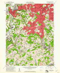
1960 Map of Bridgeville
USGS Topo · Published 1961About this map
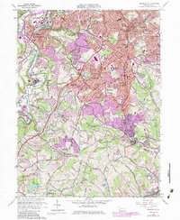
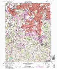
Chartiers Creek and Coal Run define the northern valley floors of this suburbanizing landscape on the edge of the 1960s. The expanding residential districts of Mount Lebanon and Bethel are prominent, while the institutional footprint of the Mayview State Hospital occupies a significant portion of the western terrain. The era's transportation network is anchored by the Pennsylvania RR and Montour RR, which parallel established routes like the Washington Pike. Local genealogy is well-supported by numerous religious and community landmarks, including the Immaculate Heart of Mary Seminary and St Francis Academy. The map documents a specific moment where traditional rural boundaries, like the Allegheny and Washington County line, met the post-war housing boom in neighborhoods like Ruthfred Acres and Broadlawn Highlands.
Find a feature on this map
119 named features on this map. Tap any name to fly to it.
Don’t see what you’re looking for? This feature index may not catch every label — zoom into the map to look around manually.
Map Details
Editions of this 1960 Bridgeville Map
6 editions found
Other maps of this area

1901 · Amity
USGS Topo · 1:62,500

1902 · Brownsville
USGS Topo · 1:62,500

1904 · Amity
USGS Topo · 1:62,500

1904 · Mc Keesport
USGS Topo · 1:62,500

1904 · Carnegie
USGS Topo · 1:62,500

1906 · Brownsville
USGS Topo · 1:62,500

1906 · Carnegie
USGS Topo · 1:62,500

1907 · Pittsburg
USGS Topo · 1:62,500

1908 · Carnegie
USGS Topo · 1:62,500

1931 · Brownsville
USGS Topo · 1:62,500