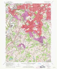
1960 Map of Bridgeville
USGS Topo · Published 1971About this map
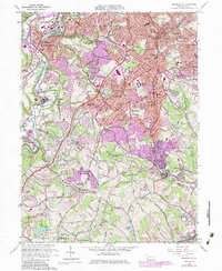
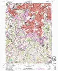
Chartiers Creek and its many tributaries, including Millers Run and McLaughlin Run, define the rolling landscape of this suburbanizing region south of Pittsburgh. The map documents a period of significant expansion across Mount Lebanon, Upper St. Clair, and Bethel, where traditional settlements like Bridgeville and Castle Shannon are being surrounded by new residential developments. Large institutional campuses such as Mayview State Hospital and the Immaculate Heart of Mary Seminary occupy broad tracts, while the Montour RR and Penn Central lines continue to serve the region's industry and transit. Genealogists will find a high density of religious and memorial sites, ranging from the St. Casimir Cem to the Forest Lawn Gardens (Cemetery) and Queen of Heaven Cemetery, alongside numerous parish schools like St. Francis Academy and St. Gabriel Sch.
Find a feature on this map
136 named features on this map. Tap any name to fly to it.
Don’t see what you’re looking for? This feature index may not catch every label — zoom into the map to look around manually.
Map Details
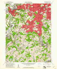
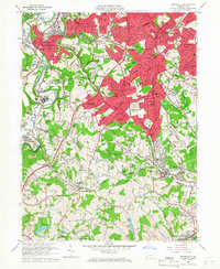
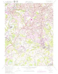
Editions of this 1960 Bridgeville Map
6 editions found
Other maps of this area

1901 · Amity
USGS Topo · 1:62,500

1902 · Brownsville
USGS Topo · 1:62,500

1904 · Amity
USGS Topo · 1:62,500

1904 · Mc Keesport
USGS Topo · 1:62,500

1904 · Carnegie
USGS Topo · 1:62,500

1906 · Brownsville
USGS Topo · 1:62,500

1906 · Carnegie
USGS Topo · 1:62,500

1907 · Pittsburg
USGS Topo · 1:62,500

1908 · Carnegie
USGS Topo · 1:62,500

1931 · Brownsville
USGS Topo · 1:62,500