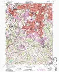
1960 Map of Bridgeville
USGS Topo · Published 1984About this map
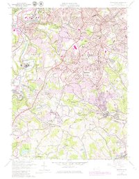
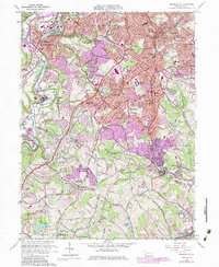
Mayview State Hospital and Kane Memorial Hospital anchor the western landscape of this Allegheny County region during a period of significant suburban expansion. The map documents the intricate rail networks of the mid-20th century, including the Montour Railroad and the Pittsburgh and West Virginia Railway, which weave through valleys shaped by Chartiers Creek and Piney Fork. While residential developments like Ruthfred Acres and Broadlawn Highlands reflect the post-war growth of Bethel Park and Bridgeville, the industrial heritage of the area remains visible through features such as the Mine Dump near Beadling. This transition from an extraction-based economy to a commuter suburb is further evidenced by the numerous parochial institutions, including the Immaculate Heart of Mary Seminary and St Francis Academy, alongside sprawling memorial parks like Queen of Heaven Cemetery.
Find a feature on this map
89 named features on this map. Tap any name to fly to it.
Don’t see what you’re looking for? This feature index may not catch every label — zoom into the map to look around manually.
Map Details
Editions of this 1960 Bridgeville Map
6 editions found
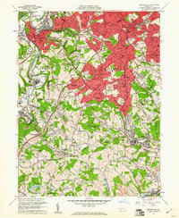
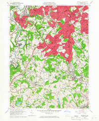
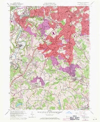
Other maps of this area

1901 · Amity
USGS Topo · 1:62,500

1902 · Brownsville
USGS Topo · 1:62,500

1904 · Amity
USGS Topo · 1:62,500

1904 · Mc Keesport
USGS Topo · 1:62,500

1904 · Carnegie
USGS Topo · 1:62,500

1906 · Brownsville
USGS Topo · 1:62,500

1906 · Carnegie
USGS Topo · 1:62,500

1907 · Pittsburg
USGS Topo · 1:62,500

1908 · Carnegie
USGS Topo · 1:62,500

1931 · Brownsville
USGS Topo · 1:62,500