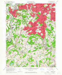
1960 Map of Bridgeville
USGS Topo · Published 1966About this map
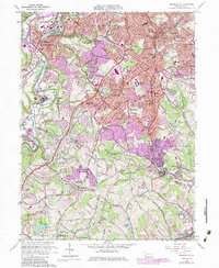
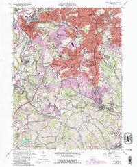
Mayview State Hospital stands as a sprawling landmark on the western edge of this territory, situated along the winding course of Chartiers Creek. This 1960 field-checked survey documents a period of significant suburban expansion south of Pittsburgh, where established rail-oriented communities like Bridgeville and Castle Shannon are being joined by newer residential pockets such as Ruthfred Acres and Broadlawn Highlands. The landscape is a transition from industrial and institutional centers to the more open farmland of Washington County to the south.
Find a feature on this map
115 named features on this map. Tap any name to fly to it.
Don’t see what you’re looking for? This feature index may not catch every label — zoom into the map to look around manually.
Map Details
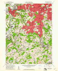
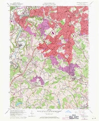
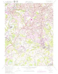
Editions of this 1960 Bridgeville Map
6 editions found
Other maps of this area

1901 · Amity
USGS Topo · 1:62,500

1902 · Brownsville
USGS Topo · 1:62,500

1904 · Amity
USGS Topo · 1:62,500

1904 · Mc Keesport
USGS Topo · 1:62,500

1904 · Carnegie
USGS Topo · 1:62,500

1906 · Brownsville
USGS Topo · 1:62,500

1906 · Carnegie
USGS Topo · 1:62,500

1907 · Pittsburg
USGS Topo · 1:62,500

1908 · Carnegie
USGS Topo · 1:62,500

1931 · Brownsville
USGS Topo · 1:62,500