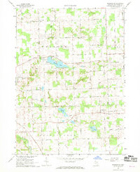
1967 Map of Bridgewater
USGS Topo · Published 1969About this map
The Saline River and Raisin River watersheds anchor this late-1960s survey of southwestern Washtenaw County, where small agricultural settlements and rural infrastructure define the landscape. The small hamlet of Bridgewater sits at the crossing of the Penn Central rail line, while Rogers Corner serves as a northern landmark amidst a grid of roads named for local families, including Lima Center Road and Burmeister Road. The area's glacial history is evident in the cluster of kettle lakes, most notably Pleasant Lake and Columbia Lake, which are surrounded by numerous active and former Gravel Pits.
Find a feature on this map
50 named features on this map. Tap any name to fly to it.
Don’t see what you’re looking for? This feature index may not catch every label — zoom into the map to look around manually.
Map Details
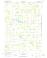
Editions of this 1967 Bridgewater Map
2 editions found
Other maps of this area

1902 · Dexter
USGS Topo · 1:62,500

1904 · Ann Arbor
USGS Topo · 1:125,000

1906 · Dexter
USGS Topo · 1:62,500

1906 · Saline
USGS Topo · 1:62,500

1908 · Ann Arbor
USGS Topo · 1:125,000

1919 · Stockbridge
USGS Topo · 1:62,500

1922 · Stockbridge
USGS Topo · 1:62,500

1942 · Stockbridge
USGS Topo · 1:62,500

1948 · Manchester
USGS Topo · 1:62,500

1949 · Manchester
USGS Topo · 1:62,500
Featured Places
- Lodi Township, MI
- Saline Township, MI
- Bridgewater, Bridgewater Township
- Bridgewater Township, MI
- Freedom Township, MI