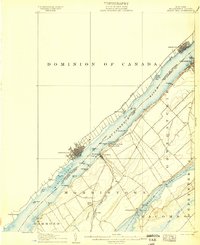
1906 Map of Brier Hill
USGS Topo · Published 1906About this map
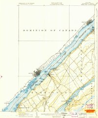
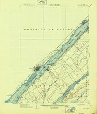
The St Lawrence River serves as the focal point for this 1904 survey, documenting the international frontier between St Lawrence Co and the Dominion of Canada. The maritime economy of the river is visible through the Cole Ferry LH and the bustling waterfronts of Brockville, Prescott, and Ogdensburg. Inland, the landscape is defined by the Rome Watertown and Ogdensburg Division and the New York Central and Hudson River railroads, which connected smaller agricultural hubs like Morristown and Brier Hill. In the southern portion of the sheet, the waters of Black Lake and Chippewa Creek create a distinct terrain pattern contrasted by the dense riverfront development. This map captures a moment before modern infrastructure altered the shoreline, preserving the locations of family-named landmarks such as Holmes Pt and Donald Pt.
Find a feature on this map
52 named features on this map. Tap any name to fly to it.
Don’t see what you’re looking for? This feature index may not catch every label — zoom into the map to look around manually.
Map Details
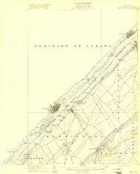
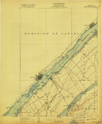
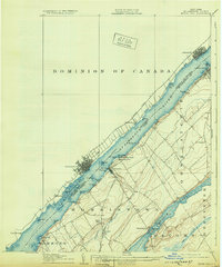
Editions of this 1906 Brier Hill Map
7 editions found
Other maps of this area

1903 · Alexandria Bay
USGS Topo · 1:62,500

1904 · Lisbon
USGS Topo · 1:48,000

1904 · Ogdensburg
USGS Topo · 1:62,500

1905 · Ogdensburg
USGS Topo · 1:62,500

1906 · Brier Hill
USGS Topo · 1:62,500

1906 · Red Mills
USGS Topo · 1:62,500

1912 · Hammond
USGS Topo · 1:62,500

1915 · Gouverneur
USGS Topo · 1:62,500

1937 · Gouverneur
USGS Topo · 1:62,500

1942 · Morristown
USGS Topo · 1:24,000