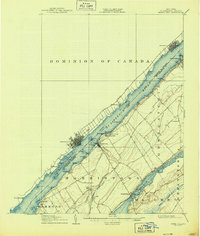
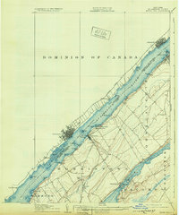
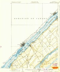
1906 Map of Brier Hill
USGS Topo · Published 1944About this map
The St Lawrence River serves as the central artery for this early twentieth-century international borderlands study, separating the United States from the Province of Ontario. On the New York shore, the New York Central RR parallels the river, connecting riverside communities like Morristown and Ogdensburg with inland points such as Brier Hill Sta. Across the water, the Grand Trunk RR serves Brockville and Maitland.
Find a feature on this map
48 named features on this map. Tap any name to fly to it.
Don’t see what you’re looking for? This feature index may not catch every label — zoom into the map to look around manually.
Map Details
Editions of this 1906 Brier Hill Map
7 editions found
Other maps of this area

1903 · Alexandria Bay
USGS Topo · 1:62,500

1904 · Lisbon
USGS Topo · 1:48,000

1904 · Ogdensburg
USGS Topo · 1:62,500

1905 · Ogdensburg
USGS Topo · 1:62,500

1906 · Brier Hill
USGS Topo · 1:62,500

1906 · Red Mills
USGS Topo · 1:62,500

1912 · Hammond
USGS Topo · 1:62,500

1915 · Gouverneur
USGS Topo · 1:62,500

1937 · Gouverneur
USGS Topo · 1:62,500

1942 · Morristown
USGS Topo · 1:24,000