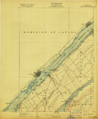
1906 Map of Brier Hill
USGS Topo · Published 1918About this map
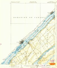
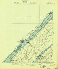
The St Lawrence River serves as the dominant spine of this northern borderlands survey, defining the boundary between the Dominion of Canada and the United States. During this era of burgeoning international commerce, the river is a busy corridor of movement, reflected by the Grand Trunk R R tracing the northern bank through Prescott and Brockville, while the New York Central serves the southern shore. On the New York side, the settlement of Morristown stands as a focal point, flanked by recreational spaces like Edgewater Park and Terrace Park. Inland, the landscape transitions toward Black Lake, where the Narrows and the community of Edwardsville mark a more interior, water-dependent economy. The map captures a moment when small hamlets like Brier Hill and Galilee were connected by a web of local creeks, including Chippewa Creek and Fish Creek, illustrating the dense agricultural and rail-linked interior of St. Lawrence County.
Find a feature on this map
50 named features on this map. Tap any name to fly to it.
Don’t see what you’re looking for? This feature index may not catch every label — zoom into the map to look around manually.
Map Details
Editions of this 1906 Brier Hill Map
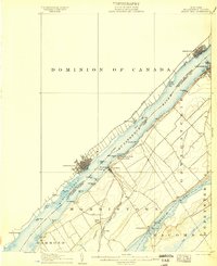
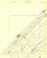
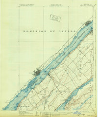
7 editions found
Other maps of this area

1903 · Alexandria Bay
USGS Topo · 1:62,500

1904 · Lisbon
USGS Topo · 1:48,000

1904 · Ogdensburg
USGS Topo · 1:62,500

1905 · Ogdensburg
USGS Topo · 1:62,500

1906 · Brier Hill
USGS Topo · 1:62,500

1906 · Red Mills
USGS Topo · 1:62,500

1912 · Hammond
USGS Topo · 1:62,500

1915 · Gouverneur
USGS Topo · 1:62,500

1937 · Gouverneur
USGS Topo · 1:62,500

1942 · Morristown
USGS Topo · 1:24,000