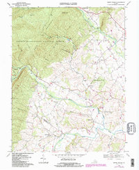
1967 Map of Briery Branch
USGS Topo · Published 1984About this map
The eastern foothills of the Blue Ridge Mountains define this 1960s landscape, where the Dry River and North River drain a complex valley of agricultural settlements and timbered slopes. Along the western edge, the George Washington National Forest covers high ridges like Narrow Back and Fox Ridge, while the valley floor is dotted with long-established communities such as Rawley Springs and Sangerville. The map records a high density of rural social centers, including the Ottobine Sch and numerous country congregations like Spring Creek Ch and Mt Bethel Ch. This era shows the clear demarcation between the managed timberlands of the Paul State Forest and the surrounding farmland, capturing the region just before modern development began to alter the traditional settlement patterns along the Rockingham and Augusta county line.
Find a feature on this map
38 named features on this map. Tap any name to fly to it.
Don’t see what you’re looking for? This feature index may not catch every label — zoom into the map to look around manually.
Map Details
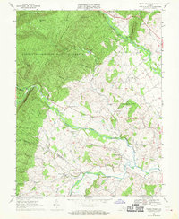
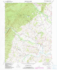
Editions of this 1967 Briery Branch Map
3 editions found
Other maps of this area

1892 · Franklin
USGS Topo · 1:125,000

1892 · Woodstock
USGS Topo · 1:125,000

1892 · Harrisonburg
USGS Topo · 1:125,000

1894 · Staunton
USGS Topo · 1:125,000

1896 · Franklin
USGS Topo · 1:125,000

1922 · Fort Seybert
USGS Topo · 1:48,000

1924 · Fort Seybert
USGS Topo · 1:62,500

1941 · Harrisonburg
USGS Topo · 1:62,500

1943 · Harrisonburg
USGS Topo · 1:62,500

1944 · Parnassus
USGS Topo · 1:62,500