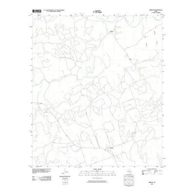
2010 Map of Briggs
USGS Topo · Published 2010About this map
The Lampasas River winds through the northern reaches of this Central Texas landscape, defining a terrain of seasonal creeks and named hollows near the turn of the 21st century. The settlement of Oakalla serves as a local anchor in the north, while Briggs marks the southern portion of the quadrangle. This area is characterized by a network of ranch roads and rural lanes, such as Smith Cemetery Rd and Dillingham Loop, that connect scattered residences and agricultural tracts.
Find a feature on this map
29 named features on this map. Tap any name to fly to it.
Don’t see what you’re looking for? This feature index may not catch every label — zoom into the map to look around manually.
Map Details
Editions of this 2010 Briggs Map
This is the sole edition of this map. No revisions or reprints were ever made.
Other maps of this area

1887 · Lampasas
USGS Topo · 1:125,000

1887 · Burnet
USGS Topo · 1:125,000

1893 · Georgetown
USGS Topo · 1:125,000

1893 · Burnet
USGS Topo · 1:125,000

1894 · Lampasas
USGS Topo · 1:125,000

1894 · Gatesville
USGS Topo · 1:125,000

1903 · Burnet
USGS Topo · 1:125,000

1909 · Burnet
USGS Topo · 1:125,000

1947 · Fort Hood
USGS Topo · 1:62,500

1947 · McMillan Mountains
USGS Topo · 1:24,000