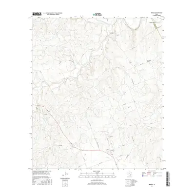
2016 Map of Briggs
USGS Topo · Published 2016About this map
The Lampasas River forms the northern boundary of this central Texas landscape, where the rural communities of Oakalla and Briggs serve as the primary hubs. This area on the Bell and Burnet county line is defined by a network of creeks, including Rocky Cr, Mill Cr, and Berry Cr, which carve through the terrain between high points like Happy Ridge. Genealogists will find a high density of family-named burial sites, such as Smith Cem, Gillum Cem, Davis Cem, Dillingham Cem, and Mount Moriah Cem. The road network connects these points via routes like G Bar M Rd and RJ Ranch Rd, while geographic features like Williams Hollow and Tom Adams Hollow highlight the local topography. The map illustrates a modern rural infrastructure centered around ranching and small-town Texas life.
Find a feature on this map
46 named features on this map. Tap any name to fly to it.
Don’t see what you’re looking for? This feature index may not catch every label — zoom into the map to look around manually.
Map Details
Editions of this 2016 Briggs Map
This is the sole edition of this map. No revisions or reprints were ever made.
Other maps of this area

1887 · Lampasas
USGS Topo · 1:125,000

1887 · Burnet
USGS Topo · 1:125,000

1893 · Georgetown
USGS Topo · 1:125,000

1893 · Burnet
USGS Topo · 1:125,000

1894 · Lampasas
USGS Topo · 1:125,000

1894 · Gatesville
USGS Topo · 1:125,000

1903 · Burnet
USGS Topo · 1:125,000

1909 · Burnet
USGS Topo · 1:125,000

1947 · Fort Hood
USGS Topo · 1:62,500

1947 · McMillan Mountains
USGS Topo · 1:24,000