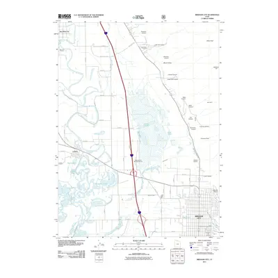
2011 Map of Brigham City
USGS Topo · Published 2011About this map
Brigham City serves as the focal point of this landscape, situated where the Wasatch Range foothills meet the expansive Bear River delta. The settlement pattern reveals a transition from the dense urban grid of the city to the agricultural and riparian zones of the Bear River valley. To the west, the river winds through a complex system of marshes and old channels, including Horseshoe Sloughs, Dead River, and Reeder Overflow. These water features highlight the hydrologic importance of the area, which is further supported by the Perry Canal and Box Elder Canal. Along the steep eastern canyons, evidence of early industrial activity remains visible at the Baker Mine and Copper Blossom Mine. Multiple family and community burial grounds, such as Harper Ward Cemetery and Bear River Cemetery, are preserved throughout the quadrangle, providing significant points of interest for genealogical research in this part of Box Elder County.
Find a feature on this map
57 named features on this map. Tap any name to fly to it.
Don’t see what you’re looking for? This feature index may not catch every label — zoom into the map to look around manually.
Map Details
Editions of this 2011 Brigham City Map
This is the sole edition of this map. No revisions or reprints were ever made.
Other maps of this area

1914 · Logan
USGS Topo · 1:125,000

1916 · Logan
USGS Topo · 1:125,000

1954 · Whistler Canal
USGS Topo · 1:24,000

1954 · Ogden
USGS Topo · 1:250,000

1954 · Brigham City
USGS Topo · 1:250,000

1955 · Mantua
USGS Topo · 1:24,000

1955 · Bear River City
USGS Topo · 1:24,000

1955 · Willard
USGS Topo · 1:24,000

1955 · Mount Pisgah
USGS Topo · 1:24,000

1955 · Brigham City
USGS Topo · 1:24,000