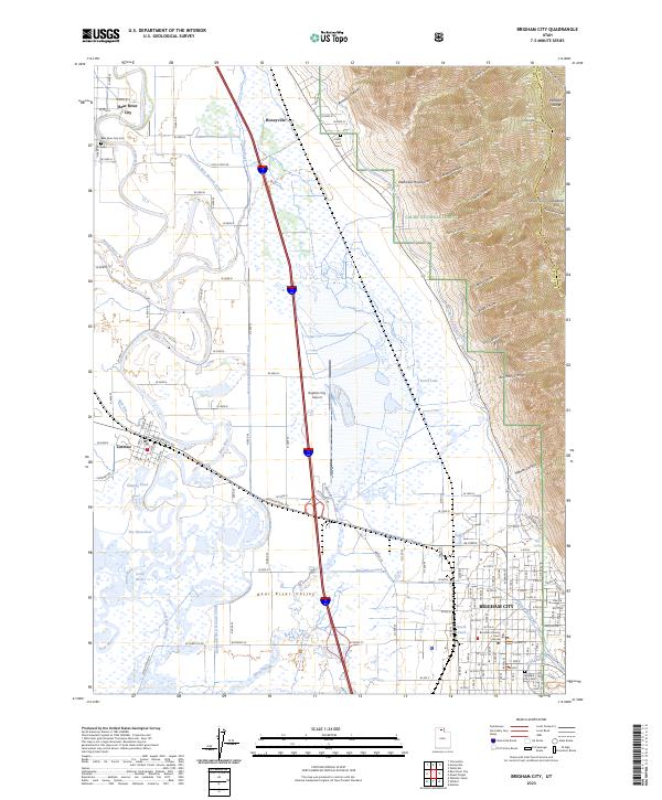
2023 Map of Brigham City
USGS Topo · Published 2023About this map
Brigham City serves as the focal point of this modern survey, situated where the Bear River Valley meets the dramatic western slopes of the Wasatch Range. The landscape is a study in complex water management and conservation, featuring the sprawling Bear River Migratory Bird Refuge and a dense network of irrigation systems including the Hammond West Branch Canal, Hammond East Branch Canal, and the North String Irrigation Ditch.
Find a feature on this map
102 named features on this map. Tap any name to fly to it.
Don’t see what you’re looking for? This feature index may not catch every label — zoom into the map to look around manually.
Map Details
Editions of this 2023 Brigham City Map
This is the sole edition of this map. No revisions or reprints were ever made.
Other maps of this area

1914 · Logan
USGS Topo · 1:125,000

1916 · Logan
USGS Topo · 1:125,000

1954 · Whistler Canal
USGS Topo · 1:24,000

1954 · Ogden
USGS Topo · 1:250,000

1954 · Brigham City
USGS Topo · 1:250,000

1955 · Mantua
USGS Topo · 1:24,000

1955 · Bear River City
USGS Topo · 1:24,000

1955 · Willard
USGS Topo · 1:24,000

1955 · Mount Pisgah
USGS Topo · 1:24,000

1955 · Brigham City
USGS Topo · 1:24,000