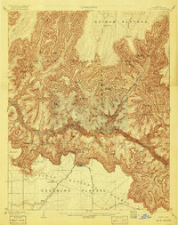
1906 Map of Bright Angel
USGS Topo · Published 1918About this map
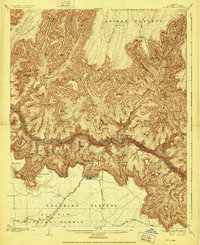
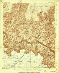
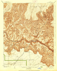
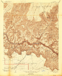
The Colorado River carves through the heart of the Granite Gorge in this detailed survey, which documents the early twentieth-century development of tourism and transit at the canyon’s south rim. The terminus of the Grand Canyon Railway is clearly visible near the El Tovar Hotel, marking the era when rail travel first made this terrain accessible to the broader public. While the Kaibab Plateau remains largely wilderness to the north, the south rim shows a network of established paths for exploration, including the Bright Angel Trail and Hermit Trail. Notable landmarks such as the Powell Memorial and Indian Garden illustrate the early efforts to memorialize the canyon's exploration. Geologist François E. Matthes's work captures the sheer verticality of features like the Shiva Temple and Cheops Pyramid, while the inclusion of Rowes Well and Hermit Camp provides insight into the water sources and outposts essential for early desert travel.
Find a feature on this map
96 named features on this map. Tap any name to fly to it.
Don’t see what you’re looking for? This feature index may not catch every label — zoom into the map to look around manually.
Map Details
Editions of this 1906 Bright Angel Map
9 editions found

Other maps of this area

1886 · San Francisco Mtns
USGS Topo · 1:250,000

1886 · Chino
USGS Topo · 1:250,000

1886 · Echo Cliffs
USGS Topo · 1:250,000

1886 · Kaibab
USGS Topo · 1:250,000

1891 · San Francisco Mtns
USGS Topo · 1:250,000

1891 · Chino
USGS Topo · 1:250,000

1891 · Echo Cliffs
USGS Topo · 1:250,000

1894 · San Francisco Mtns
USGS Topo · 1:250,000

1899 · San Francisco Mtns
USGS Topo · 1:250,000

1903 · Bright Angel
USGS Topo · 1:48,000