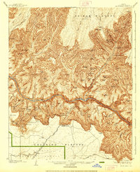
1906 Map of Bright Angel
USGS Topo · Published 1938About this map
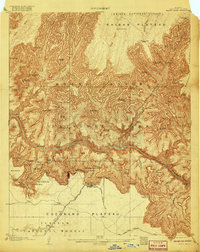
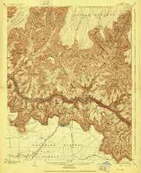
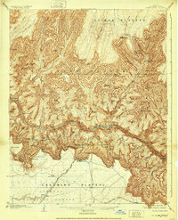
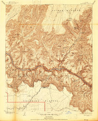
The Grand Canyon R.R. terminates at the south rim in this detailed survey, marking the early twentieth-century arrival of formal tourism to the area. Centered on the El Tovar Hotel, the map traces the intricate descent into the Granite Gorge via the Bright Angel Trail and Boucher Trail. This era of the park's history is characterized by established camps like Hermit Camp and Cottonwood Camp, alongside the newly constructed Suspension Bridge crossing the Colorado River near Phantom Ranch.
Find a feature on this map
129 named features on this map. Tap any name to fly to it.
Don’t see what you’re looking for? This feature index may not catch every label — zoom into the map to look around manually.
Map Details
Editions of this 1906 Bright Angel Map
9 editions found

Other maps of this area

1886 · San Francisco Mtns
USGS Topo · 1:250,000

1886 · Chino
USGS Topo · 1:250,000

1886 · Echo Cliffs
USGS Topo · 1:250,000

1886 · Kaibab
USGS Topo · 1:250,000

1891 · San Francisco Mtns
USGS Topo · 1:250,000

1891 · Chino
USGS Topo · 1:250,000

1891 · Echo Cliffs
USGS Topo · 1:250,000

1894 · San Francisco Mtns
USGS Topo · 1:250,000

1899 · San Francisco Mtns
USGS Topo · 1:250,000

1903 · Bright Angel
USGS Topo · 1:48,000