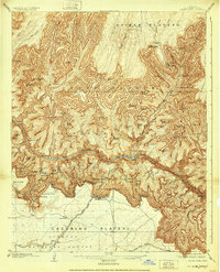
1906 Map of Bright Angel
USGS Topo · Published 1932About this map
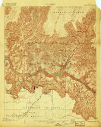
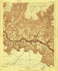
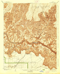
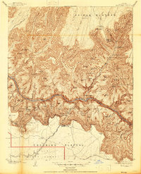
The Colorado River carves a deep path through the heart of this 1906 survey, defining the complex landscape of the Grand Canyon National Park. At the south rim, the early infrastructure of tourism and transportation is clearly visible, centered around the Grand Canyon settlement and the El Tovar Hotel. The arrival of the Grand Canyon RR and the establishment of the Powell Memorial signal the area's transition into a major destination during the early twentieth century.
Find a feature on this map
118 named features on this map. Tap any name to fly to it.
Don’t see what you’re looking for? This feature index may not catch every label — zoom into the map to look around manually.
Map Details
Editions of this 1906 Bright Angel Map
9 editions found

Other maps of this area

1886 · San Francisco Mtns
USGS Topo · 1:250,000

1886 · Chino
USGS Topo · 1:250,000

1886 · Echo Cliffs
USGS Topo · 1:250,000

1886 · Kaibab
USGS Topo · 1:250,000

1891 · San Francisco Mtns
USGS Topo · 1:250,000

1891 · Chino
USGS Topo · 1:250,000

1891 · Echo Cliffs
USGS Topo · 1:250,000

1894 · San Francisco Mtns
USGS Topo · 1:250,000

1899 · San Francisco Mtns
USGS Topo · 1:250,000

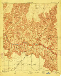
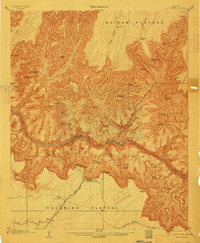
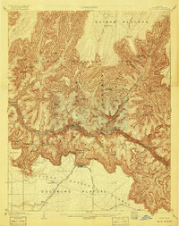
1903 · Bright Angel
USGS Topo · 1:48,000