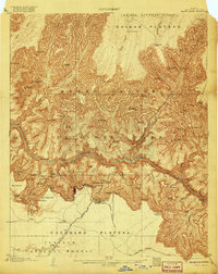
1906 Map of Bright Angel
USGS Topo · Published 1920About this map
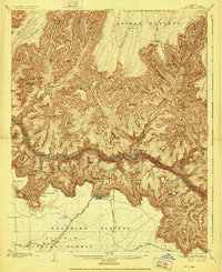
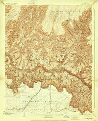
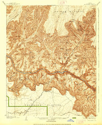
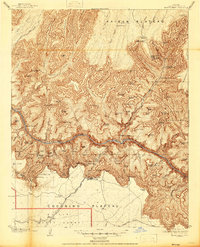
Grand Canyon National Park reveals its labyrinthine geology and early tourism infrastructure in this 1906 survey, later updated to reflect the transition from forest reserve to national park status. The Colorado River carves through the Granite Gorge, flanked by massive formations like Shiva Temple and Osiris Temple. Early access points for travelers are clearly marked, including the Santa Fe System railroad terminus at the settlement of Grand Canyon, which served the iconic El Tovar Hotel.
Find a feature on this map
92 named features on this map. Tap any name to fly to it.
Don’t see what you’re looking for? This feature index may not catch every label — zoom into the map to look around manually.
Map Details
Editions of this 1906 Bright Angel Map
9 editions found

Other maps of this area

1886 · San Francisco Mtns
USGS Topo · 1:250,000

1886 · Chino
USGS Topo · 1:250,000

1886 · Echo Cliffs
USGS Topo · 1:250,000

1886 · Kaibab
USGS Topo · 1:250,000

1891 · San Francisco Mtns
USGS Topo · 1:250,000

1891 · Chino
USGS Topo · 1:250,000

1891 · Echo Cliffs
USGS Topo · 1:250,000

1894 · San Francisco Mtns
USGS Topo · 1:250,000

1899 · San Francisco Mtns
USGS Topo · 1:250,000

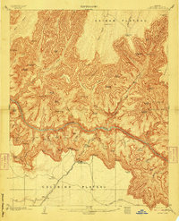
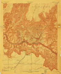
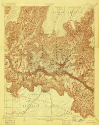
1903 · Bright Angel
USGS Topo · 1:48,000