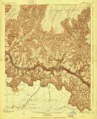
1906 Map of Bright Angel
USGS Topo · Published 1927About this map
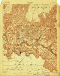
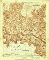
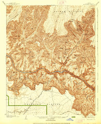
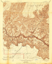
The Colorado River carves a deep path through this landscape, flanked by the intricate landforms of the Hindu Amphitheater and the Ottoman Amphitheater. Surveyed at the turn of the century, the map reveals the early infrastructure of the park, including the Grand Canyon Railway terminus near the El Tovar Hotel. This era represents a significant period of early 20th-century tourism development, where the Bright Angel Trail provided access from the south rim down to Phantom Ranch. The naming conventions used for the geological formations, such as Shiva Temple, Cheops Pyramid, and Isis Temple, reflect the era's fascination with classical and Eastern architecture. Beyond the canyon walls, the Coconino Plateau and Kaibab Plateau provide a stark contrast to the verticality of the interior gorge, while the Grandview Automobile Road shows the very beginnings of motorized travel in the region.
Find a feature on this map
59 named features on this map. Tap any name to fly to it.
Don’t see what you’re looking for? This feature index may not catch every label — zoom into the map to look around manually.
Map Details
Editions of this 1906 Bright Angel Map
9 editions found

Other maps of this area

1886 · San Francisco Mtns
USGS Topo · 1:250,000

1886 · Chino
USGS Topo · 1:250,000

1886 · Echo Cliffs
USGS Topo · 1:250,000

1886 · Kaibab
USGS Topo · 1:250,000

1891 · San Francisco Mtns
USGS Topo · 1:250,000

1891 · Chino
USGS Topo · 1:250,000

1891 · Echo Cliffs
USGS Topo · 1:250,000

1894 · San Francisco Mtns
USGS Topo · 1:250,000

1899 · San Francisco Mtns
USGS Topo · 1:250,000

1903 · Bright Angel
USGS Topo · 1:48,000