
1906 Map of Bright Angel
USGS Topo · Published 1906About this map
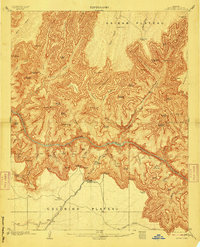
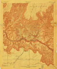
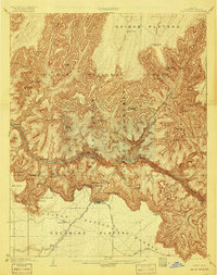
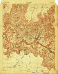
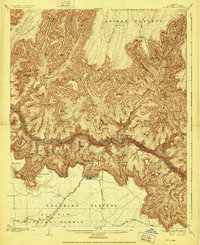
Grand Canyon serves as the focal point of this early 20th-century topographic survey, illustrating the convergence of early tourism and pioneering geological study. The settlement at Grand Canyon is linked to the outside world by the Grand Canyon R. R. and the Santa Fe System, which terminate near the rim of the Coconino Plateau. From this hub, the landscape drops precipitously into the Granite Gorge where the Colorado River flows, surrounded by massive geological formations named for ancient deities and monuments, including Shiva Temple, Isis Temple, and Cheops Pyramid.
Find a feature on this map
90 named features on this map. Tap any name to fly to it.
Don’t see what you’re looking for? This feature index may not catch every label — zoom into the map to look around manually.
Map Details
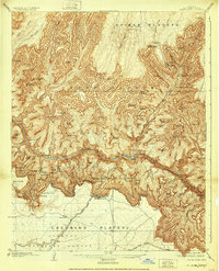
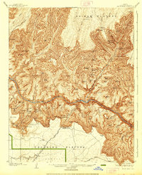
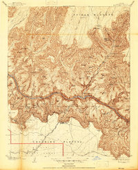
Editions of this 1906 Bright Angel Map
9 editions found
Other maps of this area

1886 · San Francisco Mtns
USGS Topo · 1:250,000

1886 · Chino
USGS Topo · 1:250,000

1886 · Echo Cliffs
USGS Topo · 1:250,000

1886 · Kaibab
USGS Topo · 1:250,000

1891 · San Francisco Mtns
USGS Topo · 1:250,000

1891 · Chino
USGS Topo · 1:250,000

1891 · Echo Cliffs
USGS Topo · 1:250,000

1894 · San Francisco Mtns
USGS Topo · 1:250,000

1899 · San Francisco Mtns
USGS Topo · 1:250,000

1903 · Bright Angel
USGS Topo · 1:48,000