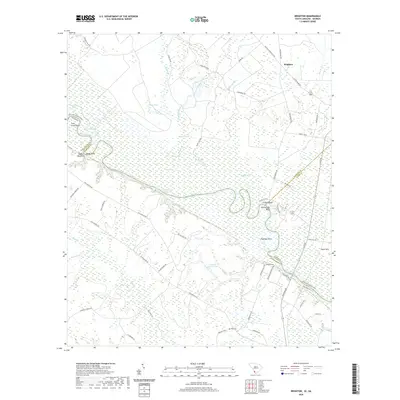
2020 Map of Brighton
USGS Topo · Published 2020About this map
Brighton and the surrounding borderlands of Hampton and Jasper counties are defined by the winding course of the Savannah River. This landscape is a complex network of wetlands and oxbow lakes, including Loggy Lake, Flat Lake, and Bluff Lake, which reveal the river's historical shifts and seasonal influence. The terrain is marked by significant riverine features like Stokes Bluff and Palichucola Bluff, which provide elevation above the extensive Boggy Swamp and the low-lying Goldwires Reach.
Find a feature on this map
68 named features on this map. Tap any name to fly to it.
Don’t see what you’re looking for? This feature index may not catch every label — zoom into the map to look around manually.
Map Details
Editions of this 2020 Brighton Map
This is the sole edition of this map. No revisions or reprints were ever made.
Other maps of this area

1919 · Pineland
USGS Topo · 1:62,500

1919 · Shirley
USGS Topo · 1:62,500

1919 · Egypt
USGS Topo · 1:62,500

1920 · Hardeeville
USGS Topo · 1:62,500

1939 · Egypt
USGS Topo · 1:62,500

1943 · Pineland
USGS Topo · 1:62,500

1943 · Hardeeville
USGS Topo · 1:62,500

1943 · Egypt
USGS Topo · 1:62,500

1943 · Shirley
USGS Topo · 1:62,500

1947 · Savannah
USGS Topo · 1:250,000