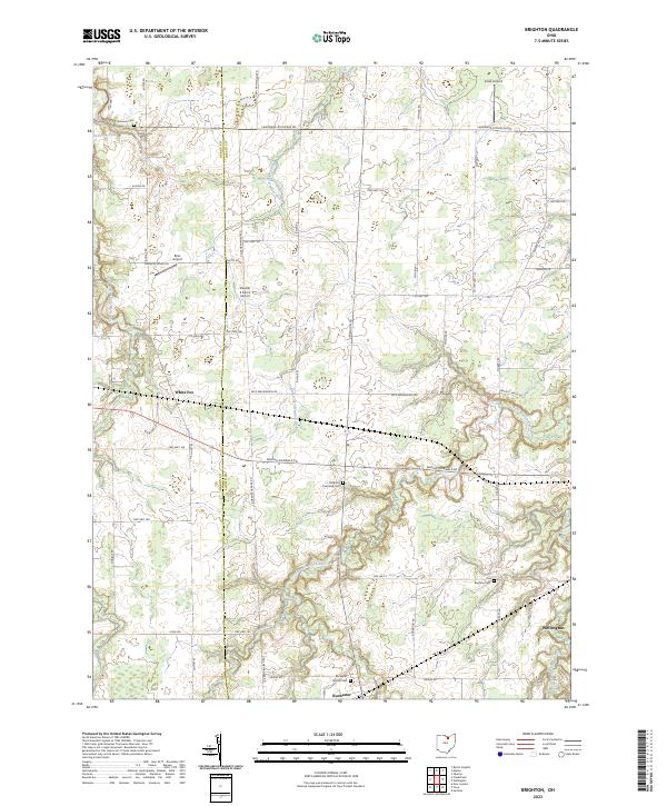
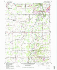
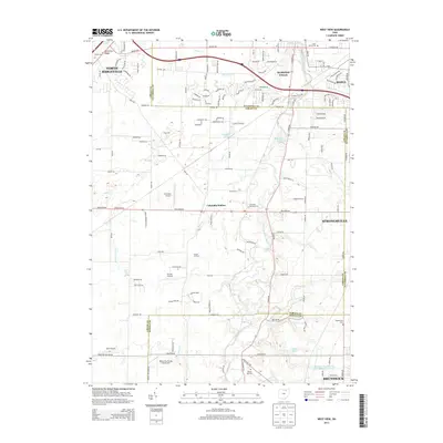
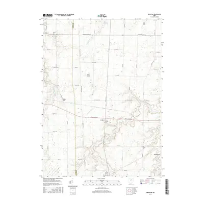
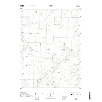
2023 Map of Brighton
USGS Topo · Published 2023About this map
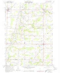
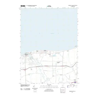
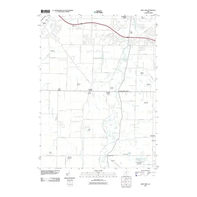
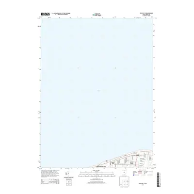
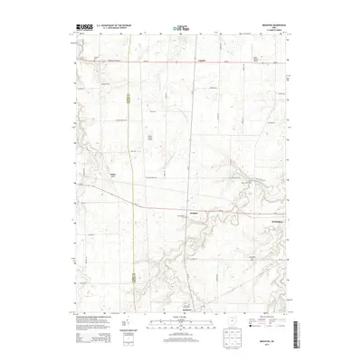
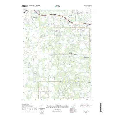
The Huron Co Lorain Co boundary line divides a landscape defined by the winding paths of the East Fork Vermilion River and the West Branch Black River. This part of Ohio maintains a distinctly rural character, where small settlements like White Fox and the village of Rochester are connected by a grid of named township roads. The map captures an area notable for its small-scale aviation, featuring several private landing strips such as Ross Airport, Kosik Airport, and Double S Farms Airport.
Find a feature on this map
48 named features on this map. Tap any name to fly to it.
Don’t see what you’re looking for? This feature index may not catch every label — zoom into the map to look around manually.
Map Details
Editions of this 2023 Brighton Map
This is the sole edition of this map. No revisions or reprints were ever made.
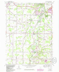
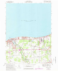
Historical Maps of Wellington Through Time
33 maps found
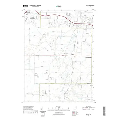
1953 West View
Lorain County, OH
1959 Vermilion East
Lorain County, OH
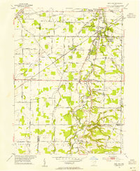
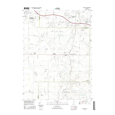
1960 Brighton
Lorain County, OH
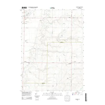
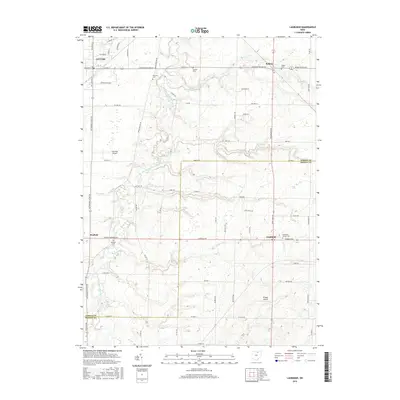
1960 Lagrange
Lorain County, OH
1963 West View
Lorain County, OH
1969 Vermilion East
Lorain County, OH
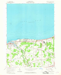
1986 Put-In-Bay
Lorain County, OH
1994 West View
Lorain County, OH
2010 Avon OE N
Lorain County, OH
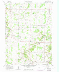
2010 Brighton
Lorain County, OH
2010 Lagrange
Lorain County, OH
2010 Vermilion East
Lorain County, OH
2010 West View
Lorain County, OH
2013 Avon OE N
Lorain County, OH
2013 Brighton
Lorain County, OH
2013 Lagrange
Lorain County, OH
2013 Vermilion East
Lorain County, OH
2013 West View
Lorain County, OH
2016 Avon OE N
Lorain County, OH
2016 Brighton
Lorain County, OH
2016 Lagrange
Lorain County, OH
2016 Vermilion East
Lorain County, OH
2016 West View
Lorain County, OH
2019 Avon OE N
Lorain County, OH
2019 Brighton
Lorain County, OH
2019 Lagrange
Lorain County, OH
2019 Vermilion East
Lorain County, OH
2019 West View
Lorain County, OH
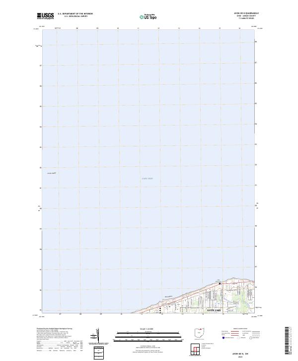
2023 Avon OE N
Lorain County, OH
2023 Brighton
Lorain County, OH
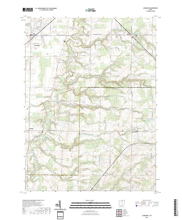
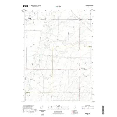
2023 Lagrange
Lorain County, OH
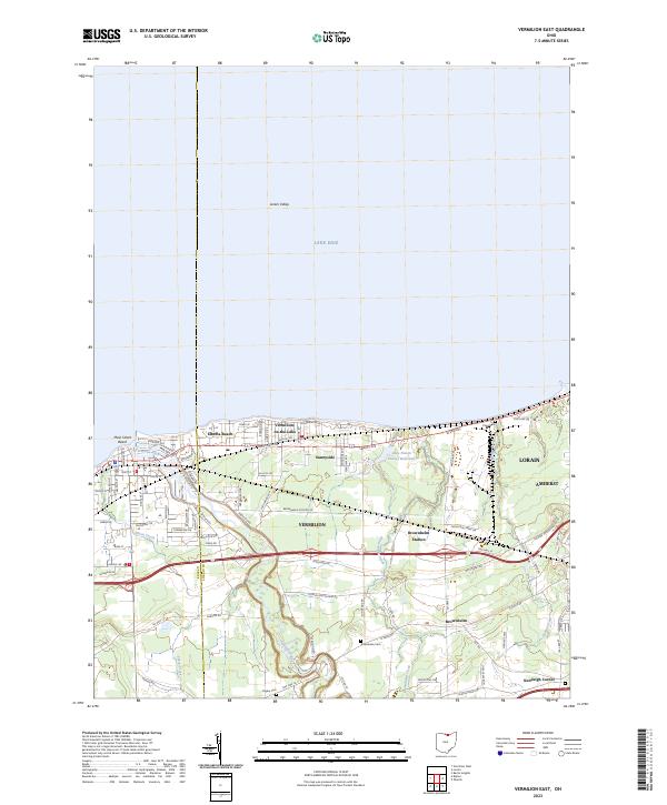
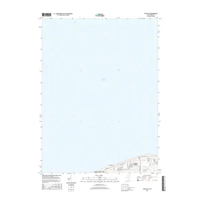
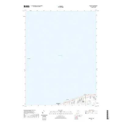
2023 Vermilion East
Lorain County, OH
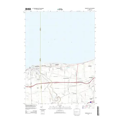
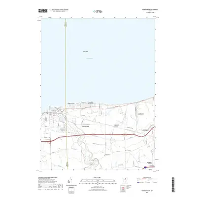
2023 West View
Lorain County, OH