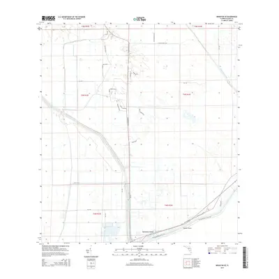
2015 Map of Brighton SE
USGS Topo · Published 2015About this map
Sarasota Colony and Big Bear Beach anchor the southern portion of this landscape, where the human footprint is defined by a grid of specialized roads and water management systems. The terrain is crisscrossed by an extensive network of Bureau of Indian Affairs routes and local roads with evocative names like Billy Bowlegs Rd Ne, Bird Nest Rd Ne, and Charlie Close Rd Ne. This infrastructure supports the agricultural and residential life of the region, interspersed with features like Knotts Lndg Ne.
Find a feature on this map
32 named features on this map. Tap any name to fly to it.
Don’t see what you’re looking for? This feature index may not catch every label — zoom into the map to look around manually.
Map Details
Editions of this 2015 Brighton SE Map
This is the sole edition of this map. No revisions or reprints were ever made.
Other maps of this area

1952 · Okeechobee NW
USGS Topo · 1:24,000

1953 · Brighton NW
USGS Topo · 1:24,000

1953 · Brighton SW
USGS Topo · 1:24,000

1953 · Brighton
USGS Topo · 1:24,000

1953 · Brighton SE
USGS Topo · 1:24,000

1953 · Okeechobee SW
USGS Topo · 1:24,000

1956 · West Palm Beach
USGS Topo · 1:250,000

1956 · Fort Pierce
USGS Topo · 1:250,000

1957 · West Palm Beach
USGS Topo · 1:250,000

1958 · Fort Pierce
USGS Topo · 1:250,000