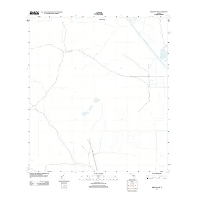
2012 Map of Brighton SW
USGS Topo · Published 2012About this map
The Herbert Hoover Dyke stands as the primary engineering feature in this region of southern Florida, reflecting the massive hydrological management systems designed to control water flow around Lake Okeechobee. This landscape is defined by its artificial watercourses and wetlands, where the Harney Pond Canal cuts through the terrain to facilitate drainage and navigation. The presence of Cabbage Island and the winding path of Gator Slough suggest the original marshy character of the Glades before modern reclamation efforts. While the area is largely characterized by open space and water management infrastructure, the network of local roads and ramps indicates a landscape managed for both flood control and accessibility in the early twenty-first century.
Find a feature on this map
4 named features on this map. Tap any name to fly to it.
Don’t see what you’re looking for? This feature index may not catch every label — zoom into the map to look around manually.
Map Details
Editions of this 2012 Brighton SW Map
This is the sole edition of this map. No revisions or reprints were ever made.
Other maps of this area

1953 · Brighton NW
USGS Topo · 1:24,000

1953 · Brighton SW
USGS Topo · 1:24,000

1953 · Brighton
USGS Topo · 1:24,000

1953 · Brighton SE
USGS Topo · 1:24,000

1953 · Childs
USGS Topo · 1:24,000

1956 · West Palm Beach
USGS Topo · 1:250,000

1956 · Fort Pierce
USGS Topo · 1:250,000

1957 · West Palm Beach
USGS Topo · 1:250,000

1957 · Venus
USGS Topo · 1:24,000

1958 · Fort Pierce
USGS Topo · 1:250,000