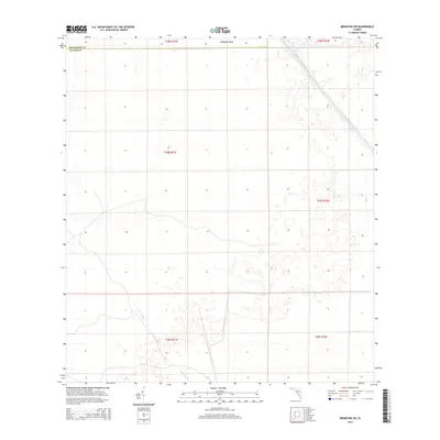
2015 Map of Brighton SW
USGS Topo · Published 2015About this map
Harney Pond Canal cuts diagonally through the northeast corner of this 2015 study, illustrating the complex water management systems of south-central Florida. This landscape is defined by the flat, marshy interface between Highlands County and Glades County, where the terrain is dominated by small, scattered wetlands and ephemeral pools. Near the northern boundary, Cabbage Island emerges as a distinctive landmark amidst the expansive sawgrass and scrub. In the southwest, the winding course of Gator Slough provides a natural drainage contrast to the straight, engineered lines of the region's canals. The map provides a precise view of the Public Land Survey System grid, documenting the township and range divisions that have historically organized this sparsely populated cattle and agricultural country.
Find a feature on this map
10 named features on this map. Tap any name to fly to it.
Don’t see what you’re looking for? This feature index may not catch every label — zoom into the map to look around manually.
Map Details
Editions of this 2015 Brighton SW Map
This is the sole edition of this map. No revisions or reprints were ever made.
Other maps of this area

1953 · Brighton NW
USGS Topo · 1:24,000

1953 · Brighton SW
USGS Topo · 1:24,000

1953 · Brighton
USGS Topo · 1:24,000

1953 · Brighton SE
USGS Topo · 1:24,000

1953 · Childs
USGS Topo · 1:24,000

1956 · West Palm Beach
USGS Topo · 1:250,000

1956 · Fort Pierce
USGS Topo · 1:250,000

1957 · West Palm Beach
USGS Topo · 1:250,000

1957 · Venus
USGS Topo · 1:24,000

1958 · Fort Pierce
USGS Topo · 1:250,000