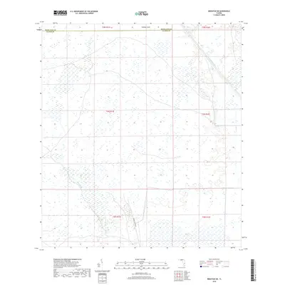
2018 Map of Brighton SW
USGS Topo · Published 2018About this map
The Herbert Hoover Dike stands as a defining engineering feature along the southern boundary of this Florida landscape, illustrating the complex water management systems of the region. Spanning the border of Highlands and Glades counties, the terrain is characterized by extensive wetlands and drainage infrastructure. Notable hydrological features include the Harney Pond Canal and the winding course of Gator Slough, which feed into larger ecological zones like Cowbone Marsh and Sixmile Marsh. Amidst these wetlands, small rises in elevation like Cabbage Island provide distinct landmarks in an otherwise flat, water-dominated environment. The map details the transition from natural marshland to the highly regulated water control areas that define the northern reaches of the Everglades ecosystem.
Find a feature on this map
7 named features on this map. Tap any name to fly to it.
Don’t see what you’re looking for? This feature index may not catch every label — zoom into the map to look around manually.
Map Details
Editions of this 2018 Brighton SW Map
This is the sole edition of this map. No revisions or reprints were ever made.
Other maps of this area

1953 · Brighton NW
USGS Topo · 1:24,000

1953 · Brighton SW
USGS Topo · 1:24,000

1953 · Brighton
USGS Topo · 1:24,000

1953 · Brighton SE
USGS Topo · 1:24,000

1953 · Childs
USGS Topo · 1:24,000

1956 · West Palm Beach
USGS Topo · 1:250,000

1956 · Fort Pierce
USGS Topo · 1:250,000

1957 · West Palm Beach
USGS Topo · 1:250,000

1957 · Venus
USGS Topo · 1:24,000

1958 · Fort Pierce
USGS Topo · 1:250,000