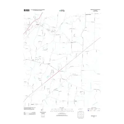
2013 Map of Brighton
USGS Topo · Published 2013About this map
Brighton and its surrounding hamlets in Tipton County define this landscape of rural crossroads and engineered waterways during the early 21st century. The map highlights a network of drainage infrastructure essential to West Tennessee agriculture, including the Indian Creek Canal, West Beaver Creek Canal, and Middle Beaver Creek Canal. These artificial channels intersect the natural flow of streams like Hatchel Cr and Kelly Br, reflecting a long history of water management to support local farming operations.
Find a feature on this map
128 named features on this map. Tap any name to fly to it.
Don’t see what you’re looking for? This feature index may not catch every label — zoom into the map to look around manually.
Map Details
Editions of this 2013 Brighton Map
This is the sole edition of this map. No revisions or reprints were ever made.
Other maps of this area

1942 · Millington
USGS Topo · 1:62,500

1954 · Mason
USGS Topo · 1:62,500

1956 · Blytheville
USGS Topo · 1:250,000

1959 · Blytheville
USGS Topo · 1:250,000

1960 · Millington
USGS Topo · 1:62,500

1961 · Rialto
USGS Topo · 1:62,500

1962 · Rialto
USGS Topo · 1:62,500

1963 · Osceola
USGS Topo · 1:62,500

1965 · Osceola
USGS Topo · 1:62,500

1965 · Brighton
USGS Topo · 1:24,000