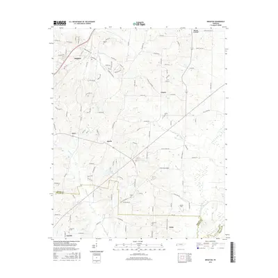
2016 Map of Brighton
USGS Topo · Published 2016About this map
Brighton and the surrounding rural landscape of Tipton County are characterized by a transition from established town centers to managed waterways and agricultural lands. The community of Idaville sits centrally, while smaller locales like Clopton and Madge ground the eastern and southern reaches. Local family histories are preserved in numerous burial grounds, including Morrison Cem and Clopton Cem, alongside spiritual anchors like the Galilee Church. The land is defined by a series of drainage canals, most notably the Indian Cr Canal and W Beaver Cr Canal, which reflect a historical effort to manage the local watershed for farming. This 2016 survey documents the enduring road network and the boundary between Tipton and Shelby Counties near the settlement of Mudville.
Find a feature on this map
116 named features on this map. Tap any name to fly to it.
Don’t see what you’re looking for? This feature index may not catch every label — zoom into the map to look around manually.
Map Details
Editions of this 2016 Brighton Map
This is the sole edition of this map. No revisions or reprints were ever made.
Other maps of this area

1942 · Millington
USGS Topo · 1:62,500

1954 · Mason
USGS Topo · 1:62,500

1956 · Blytheville
USGS Topo · 1:250,000

1959 · Blytheville
USGS Topo · 1:250,000

1960 · Millington
USGS Topo · 1:62,500

1961 · Rialto
USGS Topo · 1:62,500

1962 · Rialto
USGS Topo · 1:62,500

1963 · Osceola
USGS Topo · 1:62,500

1965 · Osceola
USGS Topo · 1:62,500

1965 · Brighton
USGS Topo · 1:24,000