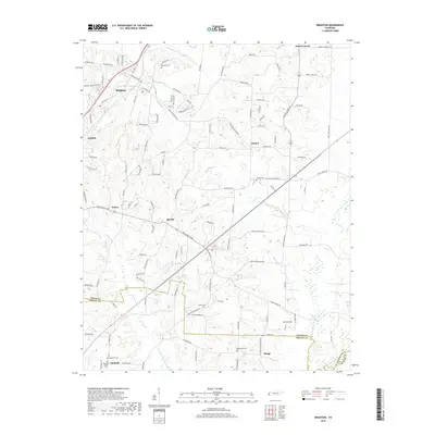
2019 Map of Brighton
USGS Topo · Published 2019About this map
Brighton and Atoka anchor the northern reaches of this West Tennessee landscape, where the agricultural traditions of Tipton County meet the gradual expansion of residential corridors. The map details a transition from established settlements like Salem and Idaville to more rural pockets defined by family-named landmarks and local heritage sites. For genealogists, the survey identifies several key burial grounds including Morrison Cem, Clopton Cem, and Macedonia Cem, offering precise locations for ancestral research in the area between the Tipton, Shelby, and Fayette county lines.
Find a feature on this map
123 named features on this map. Tap any name to fly to it.
Don’t see what you’re looking for? This feature index may not catch every label — zoom into the map to look around manually.
Map Details
Editions of this 2019 Brighton Map
This is the sole edition of this map. No revisions or reprints were ever made.
Other maps of this area

1942 · Millington
USGS Topo · 1:62,500

1954 · Mason
USGS Topo · 1:62,500

1956 · Blytheville
USGS Topo · 1:250,000

1959 · Blytheville
USGS Topo · 1:250,000

1960 · Millington
USGS Topo · 1:62,500

1961 · Rialto
USGS Topo · 1:62,500

1962 · Rialto
USGS Topo · 1:62,500

1963 · Osceola
USGS Topo · 1:62,500

1965 · Osceola
USGS Topo · 1:62,500

1965 · Brighton
USGS Topo · 1:24,000