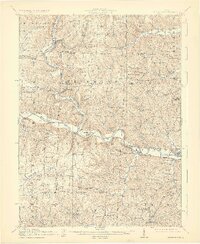
1915 Map of Brinkhaven
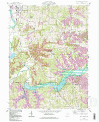
USGS Topo · Published 1925This historical map portrays the area of Brinkhaven in 1915, primarily covering Coshocton County as well as portions of Holmes County and Knox County. Featuring a scale of 1:62500, this map provides a highly detailed snapshot of the terrain, roads, buildings, counties, and historical landmarks in the Brinkhaven region at the time. Published in 1925, it is one of 2 known editions of this map due to revisions or reprints.
Find a feature on this map
91 named features on this map. Tap any name to fly to it.
Don’t see what you’re looking for? This feature index may not catch every label — zoom into the map to look around manually.
Map Details
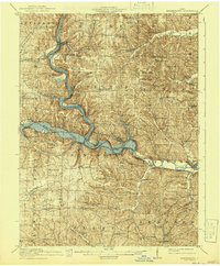
Editions of this 1915 Brinkhaven Map
2 editions found
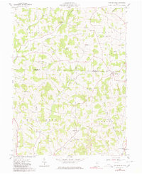
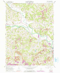
Historical Maps of Brinkhaven Through Time
9 maps found

1913 Brinkhaven
Coshocton County, OH
1915 Brinkhaven
Coshocton County, OH
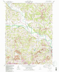
1961 New Bedford
Coshocton County, OH
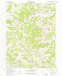
1962 Randle
Coshocton County, OH
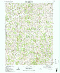
1962 Spring Mountain
Coshocton County, OH
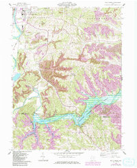
1962 Wills Creek
Coshocton County, OH
1994 New Bedford
Coshocton County, OH
1994 Randle
Coshocton County, OH
1994 Wills Creek
Coshocton County, OH