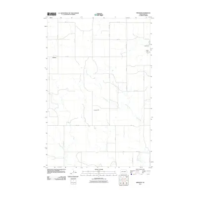
2011 Map of Brisbane
USGS Topo · Published 2011About this map
The settlement of Brisbane sits at the crossing of 74th St SW and 51st Ave SW in a landscape of Grant County defined by wide section lines and winding watercourses. This northern Great Plains terrain is characterized by the meandering path of Sixmile Creek, which drains toward the southeast corner of the map. To the north, Raleigh Dam creates a notable local water feature, providing a point of interest amidst the agricultural grid. The elevated terrain of the Antelope Hills rises in the central portion of the quadrangle, breaking the pattern of organized township roads. The map illustrates a sparse but deliberate network of county roads, such as 80th St and 46th Ave SW, that connect isolated farmsteads and manage the vast open spaces of the North Dakota prairie.
Find a feature on this map
18 named features on this map. Tap any name to fly to it.
Don’t see what you’re looking for? This feature index may not catch every label — zoom into the map to look around manually.
Map Details
Editions of this 2011 Brisbane Map
This is the sole edition of this map. No revisions or reprints were ever made.
Other maps of this area

1954 · Bismarck
USGS Topo · 1:250,000

1958 · Bismarck
USGS Topo · 1:250,000

1972 · Carson SE
USGS Topo · 1:24,000

1972 · Paradise Flats
USGS Topo · 1:24,000

1980 · Brisbane
USGS Topo · 1:24,000

1980 · Bell Coulee West
USGS Topo · 1:24,000

1980 · Lark
USGS Topo · 1:24,000

1980 · Bell Coulee East
USGS Topo · 1:24,000

1980 · Dogtooth Buttes
USGS Topo · 1:24,000

1980 · Raleigh
USGS Topo · 1:24,000