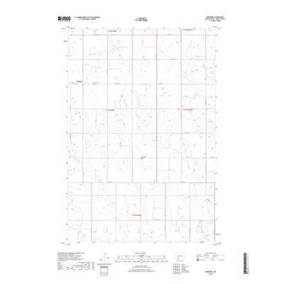
2018 Map of Brisbane
USGS Topo · Published 2018About this map
Brisbane sits at the heart of this prairie landscape, serving as a primary point of reference in Grant County. The area is defined by a grid of rural roads, including 74th St SW and 50th Ave SW, which facilitate movement across the rolling terrain of the Antelope Hills. A significant landmark for local history and genealogy is the Holy Infant Cem, situated near the settlement center. The hydrology of the region is dominated by the meandering course of Sixmile Cr, which flows through the southern and central sections, and the Raleigh Reservoir in the northeast. This 2018 survey captures the enduring agricultural character of the North Dakota plains, where section lines and section numbers like those in t133n r86w and t133n r85w continue to dictate the organization of the land.
Find a feature on this map
25 named features on this map. Tap any name to fly to it.
Don’t see what you’re looking for? This feature index may not catch every label — zoom into the map to look around manually.
Map Details
Editions of this 2018 Brisbane Map
This is the sole edition of this map. No revisions or reprints were ever made.
Other maps of this area

1954 · Bismarck
USGS Topo · 1:250,000

1958 · Bismarck
USGS Topo · 1:250,000

1972 · Carson SE
USGS Topo · 1:24,000

1972 · Paradise Flats
USGS Topo · 1:24,000

1980 · Brisbane
USGS Topo · 1:24,000

1980 · Bell Coulee West
USGS Topo · 1:24,000

1980 · Lark
USGS Topo · 1:24,000

1980 · Bell Coulee East
USGS Topo · 1:24,000

1980 · Dogtooth Buttes
USGS Topo · 1:24,000

1980 · Raleigh
USGS Topo · 1:24,000