
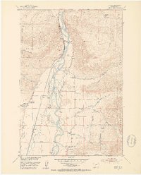
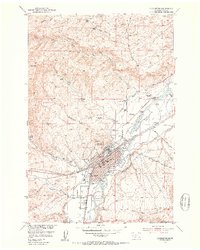
1951 Map of Brisbin
USGS Topo · Published 1953About this map
Paradise Valley serves as the centerpiece of this mid-century survey, where the Yellowstone River winds through a landscape defined by ranching and early mountain conservation. The Northern Pacific railroad tracks run parallel to the river, connecting small sidings and settlements like Brisbin and Allens Spur. This era in Park County shows a robust network of rural education, evidenced by four distinct schoolhouses including Richland Sch and Pine Creek School.
Find a feature on this map
44 named features on this map. Tap any name to fly to it.
Don’t see what you’re looking for? This feature index may not catch every label — zoom into the map to look around manually.
Map Details
Editions of this 1951 Brisbin Map
5 editions found
Other maps of this area

1891 · Livingston
USGS Topo · 1:250,000

1893 · Livingston
USGS Topo · 1:250,000

1940 · Mt. Cowen
USGS Topo · 1:62,500

1943 · Mt Cowen
USGS Topo · 1:62,500

1947 · Bozeman
USGS Topo · 1:250,000

1948 · Bozeman
USGS Topo · 1:250,000

1951 · Hoppers
USGS Topo · 1:24,000

1951 · Livingston Peak
USGS Topo · 1:24,000

1951 · Chimney Rock
USGS Topo · 1:24,000
1951 · Livingston
USGS Topo · 1:24,000