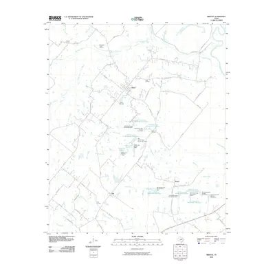
2010 Map of Bristol
USGS Topo · Published 2010About this map
Bristol stands at the center of this landscape, a point of convergence for roads like Old Gin Rd and Eleven League Rd that tie the agricultural community together. To the south and east, the smaller settlements of Crisp and Alsdorf anchor a rural terrain defined by local family history and careful water management. Numerous small reservoirs and dams, including the Soil Conservation Service Site 4 Reservoir and Hefner Lake Number 1, indicate a region heavily reliant on controlled water resources for ranching and farming operations.
Find a feature on this map
70 named features on this map. Tap any name to fly to it.
Don’t see what you’re looking for? This feature index may not catch every label — zoom into the map to look around manually.
Map Details
Editions of this 2010 Bristol Map
This is the sole edition of this map. No revisions or reprints were ever made.
Other maps of this area

1891 · Dallas
USGS Topo · 1:125,000

1893 · Dallas
USGS Topo · 1:125,000

1954 · Dallas
USGS Topo · 1:250,000

1956 · Ennis
USGS Topo · 1:62,500

1956 · Kaufman
USGS Topo · 1:62,500

1958 · Dallas
USGS Topo · 1:250,000

1959 · Ferris
USGS Topo · 1:24,000

1959 · India
USGS Topo · 1:24,000

1959 · Seagoville
USGS Topo · 1:62,500

1962 · Ennis West
USGS Topo · 1:24,000