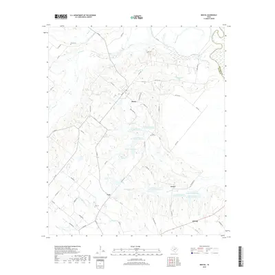
2019 Map of Bristol
USGS Topo · Published 2019About this map
The Trinity River defines the eastern boundary of this North Texas landscape, where the agricultural traditions of Ellis County are reflected in a network of rural settlements and family-named cemeteries. The crossroads at Bristol and Crisp anchor the northern and western portions of the quadrangle, while Alsdorf sits to the east, connected by a grid of farm-to-market roads like FM 660. Local genealogy is well-documented through scattered burial grounds including Norman Cem, Hefley Cem, and Crisp Cem, often located near legacy homesteads or small churches like Union Hill Cem. Extensive water management infrastructure is evident through numerous reservoirs such as Soil Conservation Service Site 4 Reservoir and Hefner Lake Number 2, which support the drainages of Red Oak Cr and Smith Cr. The southern edge captures the northern expansion of Ennis, showcasing the transition from traditional cotton-country geography to modern residential and transit patterns.
Find a feature on this map
69 named features on this map. Tap any name to fly to it.
Don’t see what you’re looking for? This feature index may not catch every label — zoom into the map to look around manually.
Map Details
Editions of this 2019 Bristol Map
This is the sole edition of this map. No revisions or reprints were ever made.
Other maps of this area

1891 · Dallas
USGS Topo · 1:125,000

1893 · Dallas
USGS Topo · 1:125,000

1954 · Dallas
USGS Topo · 1:250,000

1956 · Ennis
USGS Topo · 1:62,500

1956 · Kaufman
USGS Topo · 1:62,500

1958 · Dallas
USGS Topo · 1:250,000

1959 · Ferris
USGS Topo · 1:24,000

1959 · India
USGS Topo · 1:24,000

1959 · Seagoville
USGS Topo · 1:62,500

1962 · Ennis West
USGS Topo · 1:24,000