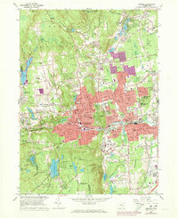
1966 Map of Bristol
USGS Topo · Published 1973About this map
Bristol and its surrounding industrial landscapes are shown here as they appeared in the early 1970s, during a period of significant urban extension marked by the expansion of neighborhoods into formerly wooded terrain. The Pequabuck River cuts through the heart of the city, paralleled by the Penn Central rail line and serving as the historical backbone for the area's manufacturing development. To the south, the landscape shifts toward recreation and natural conservation at the historic Amusement Park by Lake Compounce, nestled beneath the slopes of Compounce Mountain. The map detail highlights an intricate network of local institutions, including parochial schools like St Josephs Sch and St Stanislaus Sch, alongside established civic spaces such as Muzzy Field and Page Park. In the north, Nassahegan State Forest and the New Britain Reservoir define a more protected, less developed corridor between Whigville and Unionville.
Find a feature on this map
112 named features on this map. Tap any name to fly to it.
Don’t see what you’re looking for? This feature index may not catch every label — zoom into the map to look around manually.
Map Details
Editions of this 1966 Bristol Map
4 editions found
Other maps of this area

1892 · Winsted
USGS Topo · 1:62,500

1892 · Meriden
USGS Topo · 1:62,500

1892 · Granby
USGS Topo · 1:62,500

1893 · Waterbury
USGS Topo · 1:62,500

1893 · Meriden
USGS Topo · 1:62,500

1904 · Waterbury
USGS Topo · 1:62,500

1904 · Litchfield
USGS Topo · 1:125,000

1906 · Farmington
USGS Topo · 1:125,000
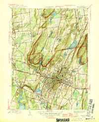
1946 · Meriden
USGS Topo · 1:31,680
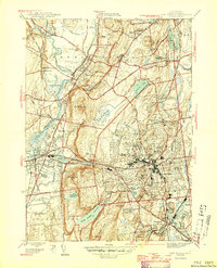
1946 · New Britain
USGS Topo · 1:31,680