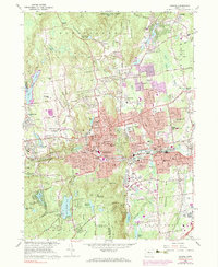
1966 Map of Bristol
USGS Topo · Published 1983About this map
Bristol and its industrial satellites are captured here during a period of mid-century urban expansion, characterized by a dense network of neighborhoods, schools, and civic infrastructure. The city center is a complex of institutions, including the Armory, Patterson Sch, and several parochial schools like St Annes Sch. The Pequabuck River corridor and the Penn Central rail line define the town's east-west orientation, passing through the villages of Pequabuck and Forestville.
Find a feature on this map
117 named features on this map. Tap any name to fly to it.
Don’t see what you’re looking for? This feature index may not catch every label — zoom into the map to look around manually.
Map Details
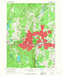
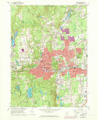
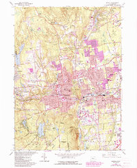
Editions of this 1966 Bristol Map
4 editions found
Other maps of this area

1892 · Winsted
USGS Topo · 1:62,500

1892 · Meriden
USGS Topo · 1:62,500

1892 · Granby
USGS Topo · 1:62,500

1893 · Waterbury
USGS Topo · 1:62,500

1893 · Meriden
USGS Topo · 1:62,500

1904 · Waterbury
USGS Topo · 1:62,500

1904 · Litchfield
USGS Topo · 1:125,000

1906 · Farmington
USGS Topo · 1:125,000
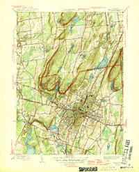
1946 · Meriden
USGS Topo · 1:31,680
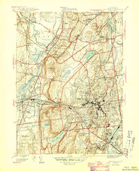
1946 · New Britain
USGS Topo · 1:31,680