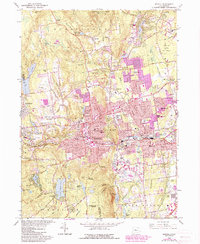
1966 Map of Bristol
USGS Topo · Published 1985About this map
The industrial and residential expansion of Bristol dominates this mid-1960s landscape, later updated in the 1980s to show the urban reach into surrounding woodlands. The Pequabuck River cuts through the city center, once a vital artery for manufacturing that defined the growth of Forestville and East Bristol. For genealogists, the map is remarkably dense with community institutions, including St Josephs Sch & Ch, St Thomas Cem, and the St Matthews Sch & Cem. To the north and west, the terrain rises into the Nassahegan State Forest and toward Johnnycake Mtn, where smaller settlements like Whigville retain a more rural character. The map also captures local leisure landmarks, notably the Amusement Park at Compounce Lake and athletic grounds at Muzzy Field.
Find a feature on this map
116 named features on this map. Tap any name to fly to it.
Don’t see what you’re looking for? This feature index may not catch every label — zoom into the map to look around manually.
Map Details
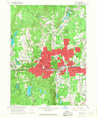
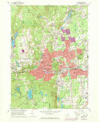
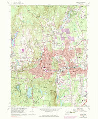
Editions of this 1966 Bristol Map
4 editions found
Other maps of this area

1892 · Winsted
USGS Topo · 1:62,500

1892 · Meriden
USGS Topo · 1:62,500

1892 · Granby
USGS Topo · 1:62,500

1893 · Waterbury
USGS Topo · 1:62,500

1893 · Meriden
USGS Topo · 1:62,500

1904 · Waterbury
USGS Topo · 1:62,500

1904 · Litchfield
USGS Topo · 1:125,000

1906 · Farmington
USGS Topo · 1:125,000
1946 · Meriden
USGS Topo · 1:31,680
1946 · New Britain
USGS Topo · 1:31,680