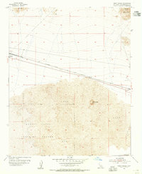
1954 Map of Bristol Lake NW
USGS Topo · Published 1972About this map
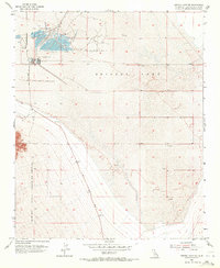
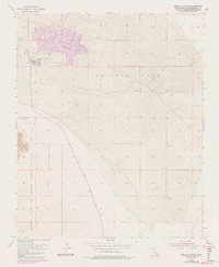
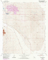
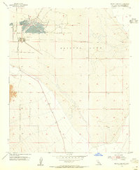
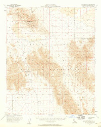
Salt Evaporators dominate the northern portion of this arid basin, where an intricate grid of infrastructure marks the industrial extraction of minerals from Bristol Lake. Surveyed in the early 1950s, the map reveals a stark landscape of chemical production and military training. The southeastern slopes of the Bullion Mountains transition into the massive Marine Corps Training Center, while Amboy Road serves as the primary artery cutting through the desert terrain. Scattered across the alluvial fans and rocky outcrops are numerous small-scale mining efforts, marked simply as Prospect or Gravel Pit, reflecting the area's mineral-focused economy. The high-contrast patterns of the evaporative ponds provide a sharp visual record of mid-century industrial salt production in the Mojave Desert.
Find a feature on this map
7 named features on this map. Tap any name to fly to it.
Don’t see what you’re looking for? This feature index may not catch every label — zoom into the map to look around manually.
Map Details
Editions of this 1954 Bristol Lake NW Map
4 editions found
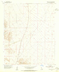
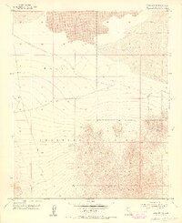
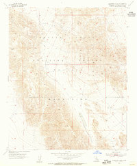
Other maps of this area

1942 · Amboy
USGS Topo · 1:250,000

1943 · Amboy
USGS Topo · 1:250,000

1954 · Needles
USGS Topo · 1:250,000
1954 · Bristol Lake NW
USGS Topo · 1:24,000
1954 · Amboy Crater
USGS Topo · 1:24,000
1954 · Bristol Lake SW
USGS Topo · 1:24,000
1955 · Lead Mtn. NE
USGS Topo · 1:24,000
1955 · Cleghorn Lakes
USGS Topo · 1:24,000
1955 · Lead Mountain
USGS Topo · 1:62,500

1956 · Needles
USGS Topo · 1:250,000