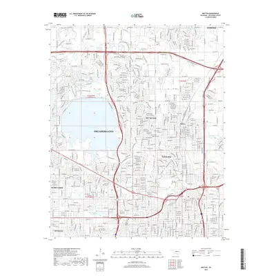
1995 Map of Britton
USGS Topo · Published 1999About this map
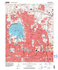
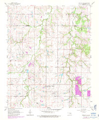
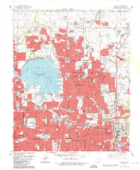
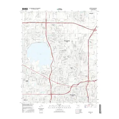
Lake Hefner dominates the western landscape of this mid-1990s urban survey, its shores lined with recreational infrastructure like the Oklahoma City Country Club, Fish Hatchery, and numerous parks. The dense suburban expansion of Oklahoma City is clearly defined, showing the established neighborhoods of Nichols Hills, Warr Acres, and The Village. This era represents a fully matured automotive landscape, where the Atchison Topeka and Santa Fe railroad corridor runs parallel to major thoroughfares like Broadway and Western Ave.
Find a feature on this map
107 named features on this map. Tap any name to fly to it.
Don’t see what you’re looking for? This feature index may not catch every label — zoom into the map to look around manually.
Map Details
Editions of this 1995 Britton Map
This is the sole edition of this map. No revisions or reprints were ever made.
Historical Maps of Oklahoma City Through Time
21 maps found
1934 Crutcho Creek
Oklahoma County, OK
1951 Britton
Oklahoma County, OK
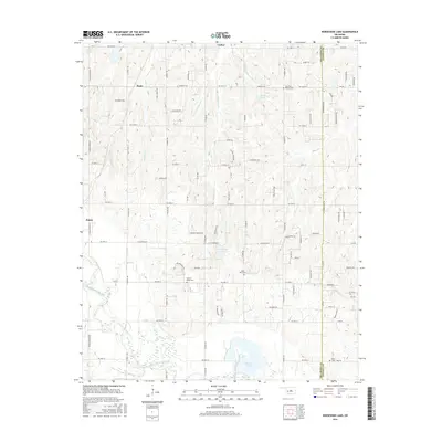
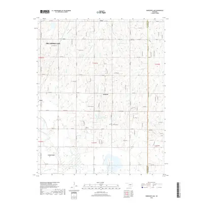
1956 Horseshoe Lake
Oklahoma County, OK
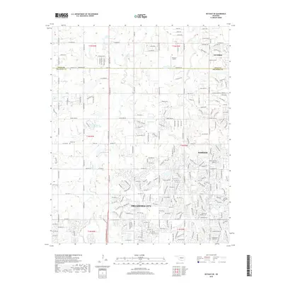
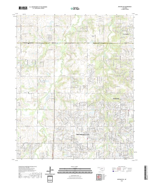
1966 Bethany NE
Oklahoma County, OK
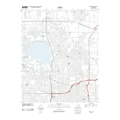
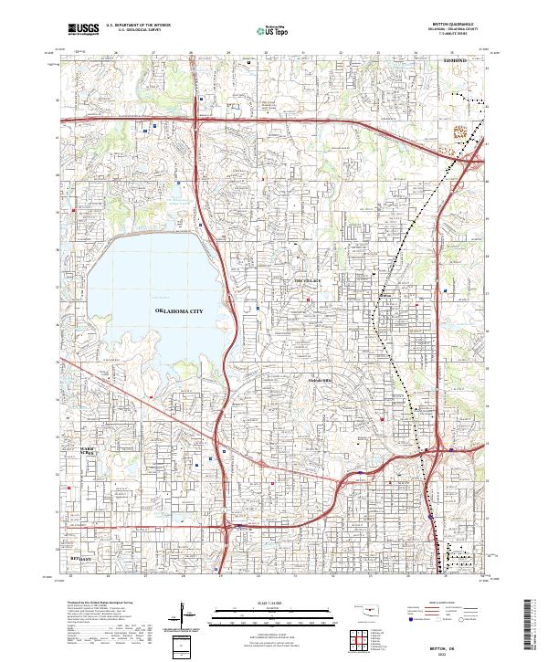
1986 Britton
Oklahoma County, OK
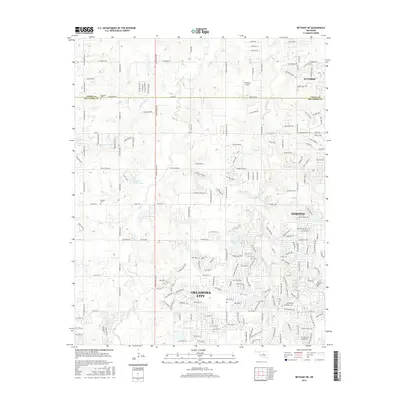
1995 Britton
Oklahoma County, OK
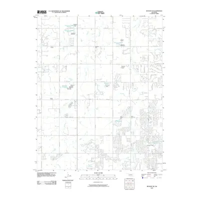
2009 Bethany NE
Oklahoma County, OK
2010 Britton
Oklahoma County, OK
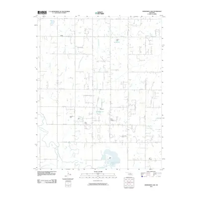
2010 Horseshoe Lake
Oklahoma County, OK
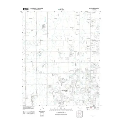
2012 Bethany NE
Oklahoma County, OK
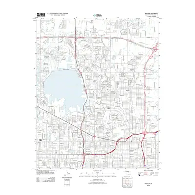
2012 Britton
Oklahoma County, OK
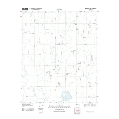
2013 Horseshoe Lake
Oklahoma County, OK
2016 Bethany NE
Oklahoma County, OK
2016 Britton
Oklahoma County, OK
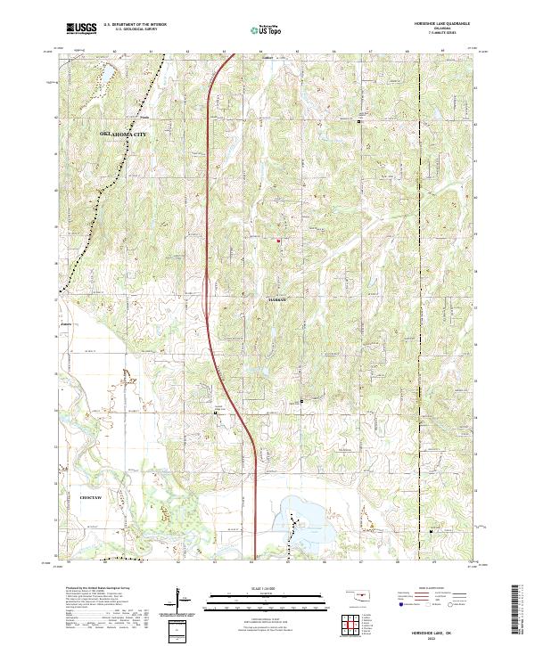
2016 Horseshoe Lake
Oklahoma County, OK
2018 Bethany NE
Oklahoma County, OK
2018 Britton
Oklahoma County, OK
2018 Horseshoe Lake
Oklahoma County, OK
2022 Bethany NE
Oklahoma County, OK
2022 Britton
Oklahoma County, OK
2022 Horseshoe Lake
Oklahoma County, OK