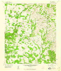
1959 Map of Brock
USGS Topo · Published 1960About this map
The Brazos River cuts through the southwestern corner of this Parker County landscape, where the terrain is defined by the winding paths of Grindstone Creek and Little Grindstone Creek. In the late 1950s, the rural character of the area was punctuated by small nodes like Brock and Brock Junction, connected by the World War II Veterans Highway. For genealogists, the map is particularly detailed regarding local burial sites, documenting Fairview Cem, Cox Cem, and Brashears Cem, among others. Resource extraction is evident through several scattered Oil Wells, a Quarry, and Gravel Pits, indicating a mid-century economy built on both ranching and mineral wealth. The presence of a Radio Range Sta and a high-elevation point at VABM 1043 Brock highlights the area's significance for regional navigation and surveying during this era.
Find a feature on this map
25 named features on this map. Tap any name to fly to it.
Don’t see what you’re looking for? This feature index may not catch every label — zoom into the map to look around manually.
Map Details
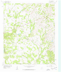
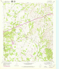
Editions of this 1959 Brock Map
Other maps of this area

1891 · Weatherford
USGS Topo · 1:125,000

1891 · Palo Pinto
USGS Topo · 1:125,000

1893 · Weatherford
USGS Topo · 1:125,000

1918 · Palo Pinto
USGS Topo · 1:125,000

1924 · Weatherford 3-d
USGS Topo · 1:48,000

1927 · Mineral Wells
USGS Topo · 1:62,500

1931 · Dennis
USGS Topo · 1:62,500

1931 · Santo
USGS Topo · 1:62,500

1954 · Dallas
USGS Topo · 1:250,000

1954 · Abilene
USGS Topo · 1:250,000