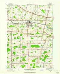
1952 Map of Brockport
USGS Topo · Published 1961About this map
Brockport serves as the central hub of this Monroe County landscape, established along the vital waterway of the Erie Canal. The 1952 revision captures the village and its surrounding agricultural townships of Clarkson and Sweden during a period of steady mid-century growth. The settlement pattern is defined by a rigorous grid of rural roads, including Fourth Section Road and Spencerport Road, connecting smaller hamlets like Sweden Center and West Sweden.
Find a feature on this map
48 named features on this map. Tap any name to fly to it.
Don’t see what you’re looking for? This feature index may not catch every label — zoom into the map to look around manually.
Map Details
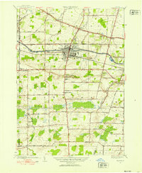
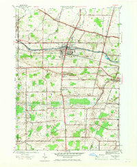
Editions of this 1952 Brockport Map
3 editions found
Other maps of this area

1897 · Albion
USGS Topo · 1:62,500

1897 · Oak Orchard
USGS Topo · 1:62,500

1899 · Hamlin
USGS Topo · 1:62,500

1899 · Brockport
USGS Topo · 1:62,500

1932 · Hamlin
USGS Topo · 1:24,000

1932 · Spencerport
USGS Topo · 1:24,000

1934 · Spencerport
USGS Topo · 1:24,000

1934 · Brockport
USGS Topo · 1:24,000
1934 · Hilton
USGS Topo · 1:24,000

1934 · Clifton
USGS Topo · 1:24,000