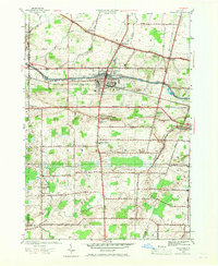
1952 Map of Brockport
USGS Topo · Published 1968About this map
The Erie Canal cuts through the heart of this landscape, anchoring the village of Brockport as it served as a vital mid-century transit corridor alongside the New York Central Railroad. This 1952 revision, based on earlier surveys, illustrates a well-ordered agricultural and residential district spanning the towns of Clarkson and Sweden. Notable for its concentration of historic burial sites, the area includes Lake View Cemetery and numerous smaller plots such as West Clarkson Cem and Garland Cem, which offer significant value for genealogical research. Small hamlets like Sweden Center, Garland, and West Clarkson are connected by a dense grid of local roads, including Ridge Road and Swamp Road, reflecting the enduring rural character of Monroe County before late-twentieth-century suburban expansion.
Find a feature on this map
52 named features on this map. Tap any name to fly to it.
Don’t see what you’re looking for? This feature index may not catch every label — zoom into the map to look around manually.
Map Details
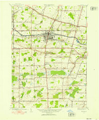
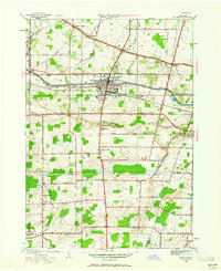
Editions of this 1952 Brockport Map
3 editions found
Other maps of this area

1897 · Albion
USGS Topo · 1:62,500

1897 · Oak Orchard
USGS Topo · 1:62,500

1899 · Hamlin
USGS Topo · 1:62,500

1899 · Brockport
USGS Topo · 1:62,500

1932 · Hamlin
USGS Topo · 1:24,000

1932 · Spencerport
USGS Topo · 1:24,000

1934 · Spencerport
USGS Topo · 1:24,000

1934 · Brockport
USGS Topo · 1:24,000
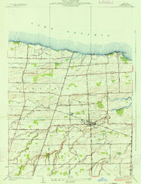
1934 · Hilton
USGS Topo · 1:24,000

1934 · Clifton
USGS Topo · 1:24,000